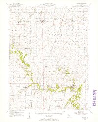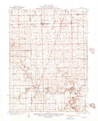
1936 Map of Potomac
USGS Topo · Published 1936About this map
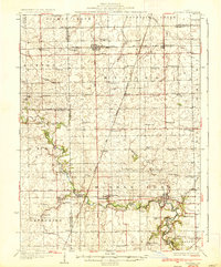
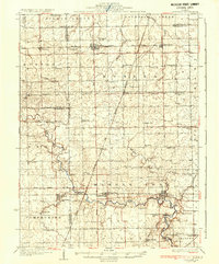
Potomac and the surrounding agricultural townships of eastern Illinois are defined by a network of rural schools and small settlements during the early 1930s. The landscape is crisscrossed by the New York Chicago and St Louis and the Illinois Central railroads, which supported the development of grain-shipping points like Rankin and East Lynn. Along the Middle Fork Vermilion River, several historic river crossings such as Bass Ford and Selsor Ford remain visible, indicating older patterns of travel before modern bridge infrastructure dominated the region. Dozens of one-room schoolhouses, including Sugar Grove Sch and Hawbuck Sch, are spaced throughout the prairie to serve the dispersed farming community. For genealogists, the map preserves the exact locations of local landmarks like St Lawrence Ch and the Rankin Union Cem, providing a spatial record of the social and religious centers of the era.
Find a feature on this map
72 named features on this map. Tap any name to fly to it.
Don’t see what you’re looking for? This feature index may not catch every label — zoom into the map to look around manually.
Map Details
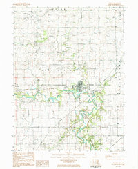
Editions of this 1936 Potomac Map
3 editions found
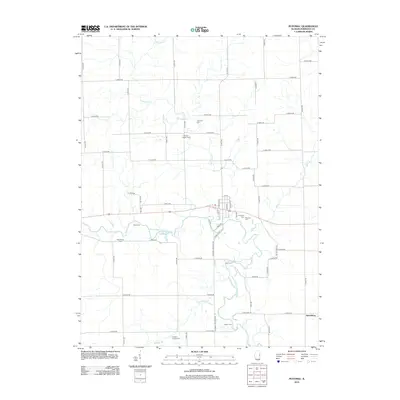
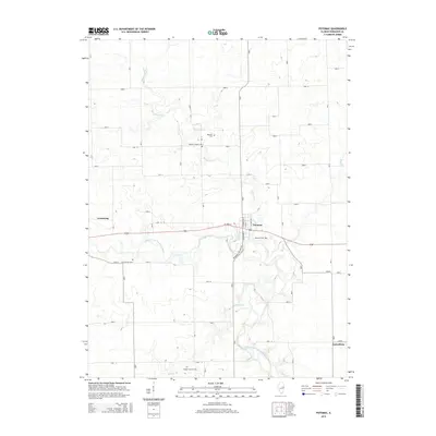
Historical Maps of Potomac Through Time
8 maps found