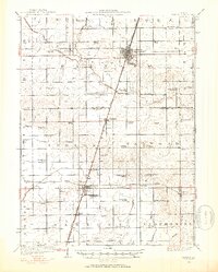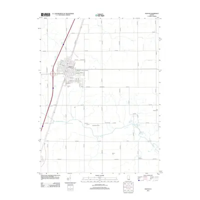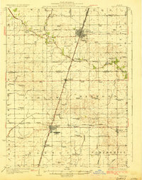
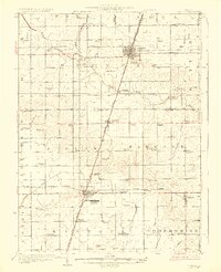
1927 Map of Paxton
USGS Topo · Published 1927About this map
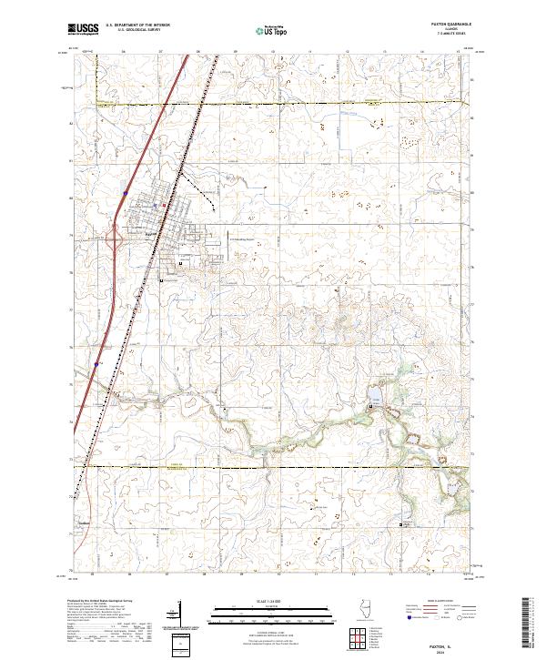
Chanute Flying Field stands out as a significant military aviation landmark within the agricultural heartland of East Central Illinois. The settlement patterns of the 1920s are clearly defined by the Illinois Central railroad corridor, which links the primary towns of Paxton, Ludlow, and Rantoul. The landscape is a network of rural schoolhouses and family-named landmarks, reflecting a era of local, township-based education with schools like Lily Dell School and Trickel Grove School spaced for accessibility in an age before consolidated districts.
Find a feature on this map
73 named features on this map. Tap any name to fly to it.
Don’t see what you’re looking for? This feature index may not catch every label — zoom into the map to look around manually.
Map Details
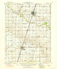
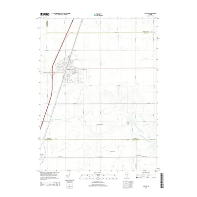
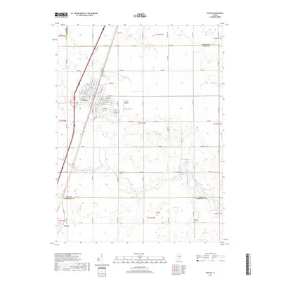
Editions of this 1927 Paxton Map
2 editions found
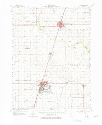
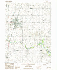
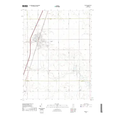
Historical Maps of Rantoul Through Time
10 maps found