Loading...
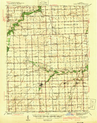
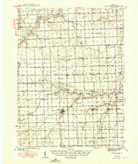
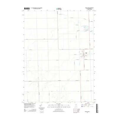
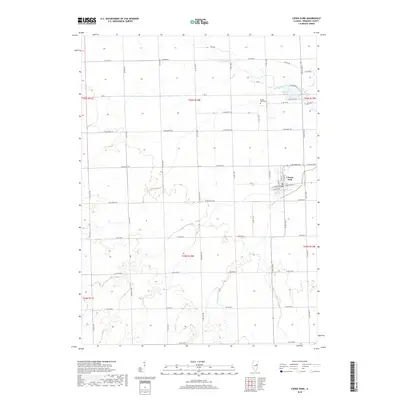
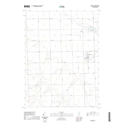
Loading map...1939 Map of Cissna Park
USGS Topo · Published 1940About this map
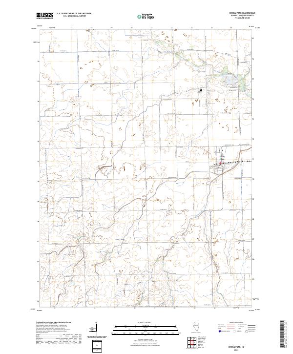
Cissna Park serves as the central hub of this agricultural landscape in southern Iroquois County, defined by a dense network of over two dozen rural schoolhouses that supported a once-populous farming community. The grid of country roads connects family-named landmarks and small villages like Claytonville and Goodwine, while the Chicago And Eastern Illinois railroad cuts through the eastern prairies, linking the grain elevators of Hickman to larger markets.
Find a feature on this map
68 named features on this map. Tap any name to fly to it.
Don’t see what you’re looking for? This feature index may not catch every label — zoom into the map to look around manually.
Map Details
Date Portrayed1939
Date Published1940
PublisherU.S. Geological Survey
Map TypeTopographic
Scale1:62,500
Physical Dimensions15.9 x 20.3 inches
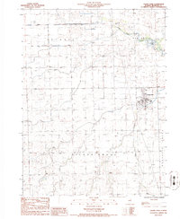
Editions of this 1939 Cissna Park Map
This is the sole edition of this map. No revisions or reprints were ever made.
Historical Maps of Gilman Through Time
8 maps found
Featured Locations
Source Details
SourceU.S. Geological Survey
CopyrightPublic Domain