
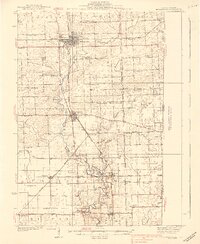
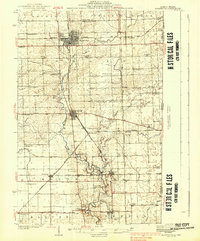
1938 Map of Hoopeston
USGS Topo · Published 1938About this map
Hoopeston and Rossville anchor this 1930s depiction of eastern Illinois, where the heavy convergence of the Chicago and Eastern Illinois, Illinois Central, and other major rail lines defined the local economy. The landscape is a grid of agrarian townships like Grant and Ross, dotted with an exceptional density of rural education sites, including uniquely named landmarks such as Squankum Sch and Bristle Ridge Sch.
Find a feature on this map
74 named features on this map. Tap any name to fly to it.
Don’t see what you’re looking for? This feature index may not catch every label — zoom into the map to look around manually.
Map Details
Editions of this 1938 Hoopeston Map
3 editions found
Other maps of this area

1899 · Danville
USGS Topo · 1:62,500

1900 · Danville
USGS Topo · 1:62,500

1931 · Fithian
USGS Topo · 1:48,000

1933 · Hoopeston
USGS Topo · 1:48,000

1936 · Potomac
USGS Topo · 1:62,500

1938 · Milford
USGS Topo · 1:48,000

1939 · Cissna Park
USGS Topo · 1:62,500

1943 · Fithian
USGS Topo · 1:62,500

1944 · Milford
USGS Topo · 1:62,500

1948 · Danville NW
USGS Topo · 1:24,000