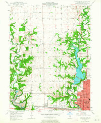
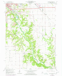
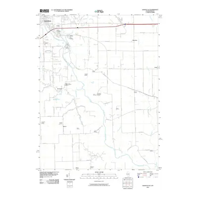
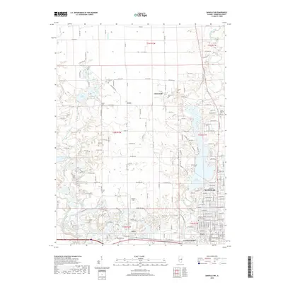
1948 Map of Danville NW
USGS Topo · Published 1964About this map
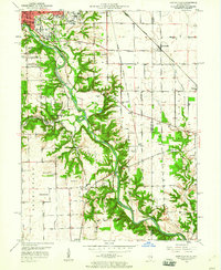
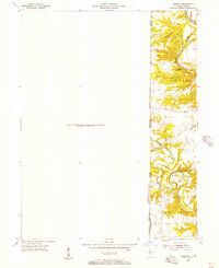
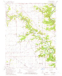
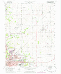
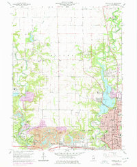
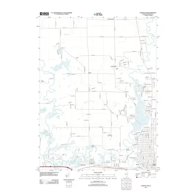
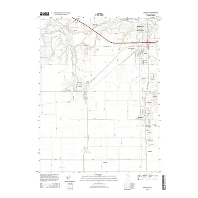
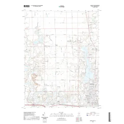
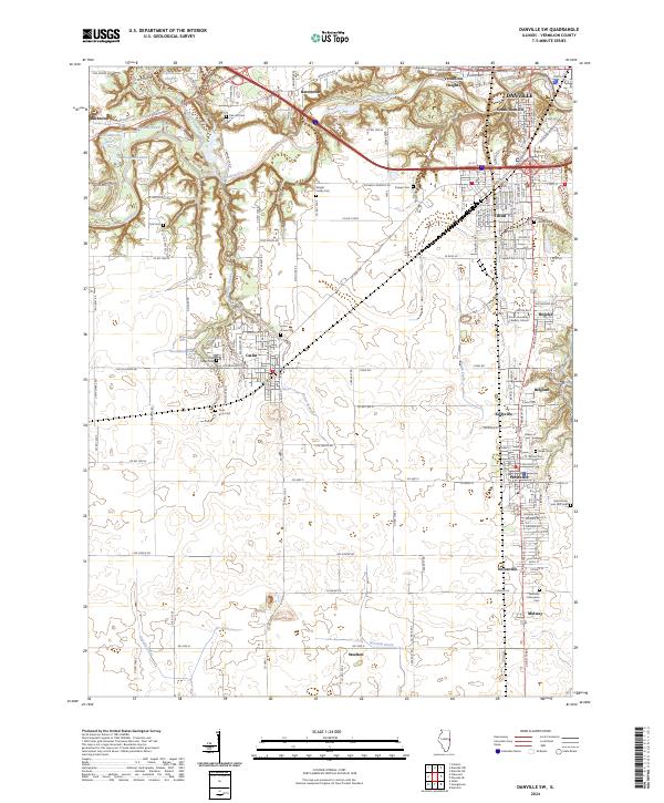
Danville serves as the industrial and residential anchor at the southeastern edge of this Vermilion County landscape, where the North Fork Vermilion River feeds into the expansive Lake Vermilion. The late 1940s terrain is marked by a dense network of country schools and churches that define the rural character of Blount and Danville townships. Settlements like Hillery and West Hillery sit along the southern rail corridors of the Illinois Terminal and New York Central railroads. The western portion of the map is dominated by the nascent Kickapoo State Park, showing a landscape shaped by historical land use near the Vermilion River. Genealogists will find a wealth of local landmarks, from the Thurman and Pentecost cemeteries to small rural institutions like the Atwood Sch and Vermilion Chapel.
Find a feature on this map
50 named features on this map. Tap any name to fly to it.
Don’t see what you’re looking for? This feature index may not catch every label — zoom into the map to look around manually.
Map Details
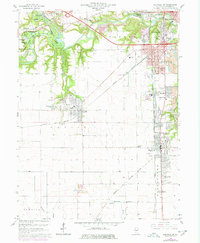
Editions of this 1948 Danville NW Map
This is the sole edition of this map. No revisions or reprints were ever made.
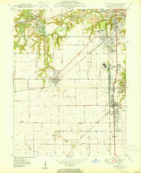
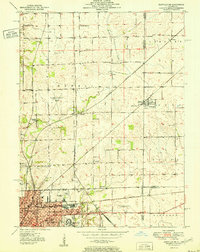
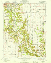
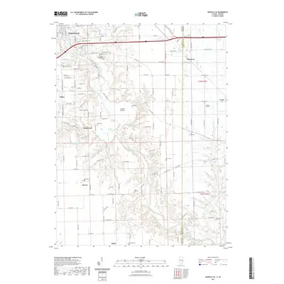
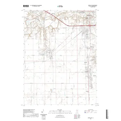
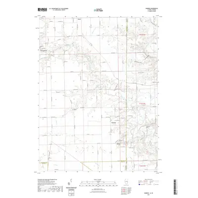
Historical Maps of Danville Through Time
48 maps found
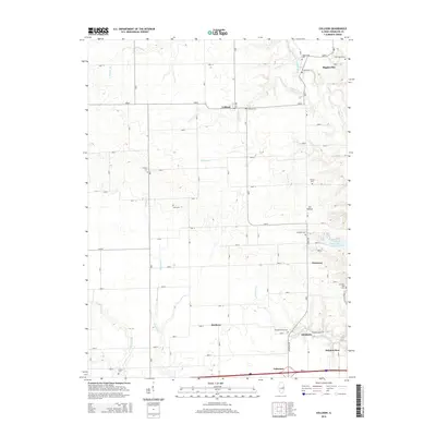
1948 Danville NW
Vermilion County, IL
1949 Danville SW
Vermilion County, IL
1950 Danville NE
Vermilion County, IL
1950 Danville NW
Vermilion County, IL
1950 Danville SE
Vermilion County, IL
1950 Danville SW
Vermilion County, IL
1951 Danville NE
Vermilion County, IL
1951 Danville SE
Vermilion County, IL
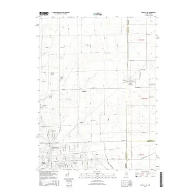
1955 Humrick
Vermilion County, IL
1965 Humrick
Vermilion County, IL
1966 Danville NE
Vermilion County, IL
1966 Danville NW
Vermilion County, IL
1966 Danville SE
Vermilion County, IL
1966 Danville SW
Vermilion County, IL
1968 Collison
Vermilion County, IL
2010 Danville NE
Vermilion County, IL
2010 Danville SE
Vermilion County, IL
2010 Humrick
Vermilion County, IL
2012 Collison
Vermilion County, IL
2012 Danville NE
Vermilion County, IL
2012 Danville NW
Vermilion County, IL
2012 Danville SE
Vermilion County, IL
2012 Danville SW
Vermilion County, IL
2012 Humrick
Vermilion County, IL
2015 Collison
Vermilion County, IL
2015 Danville NE
Vermilion County, IL
2015 Danville NW
Vermilion County, IL
2015 Danville SE
Vermilion County, IL
2015 Danville SW
Vermilion County, IL
2015 Humrick
Vermilion County, IL
2018 Collison
Vermilion County, IL
2018 Danville NE
Vermilion County, IL
2018 Danville NW
Vermilion County, IL
2018 Danville SE
Vermilion County, IL

2018 Danville SW
Vermilion County, IL

2018 Humrick
Vermilion County, IL
2021 Collison
Vermilion County, IL
2021 Danville NE
Vermilion County, IL
2021 Danville NW
Vermilion County, IL
2021 Danville SE
Vermilion County, IL
2021 Danville SW
Vermilion County, IL
2021 Humrick
Vermilion County, IL
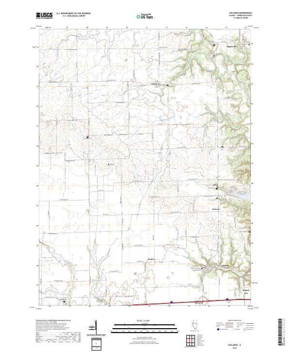
2024 Collison
Vermilion County, IL
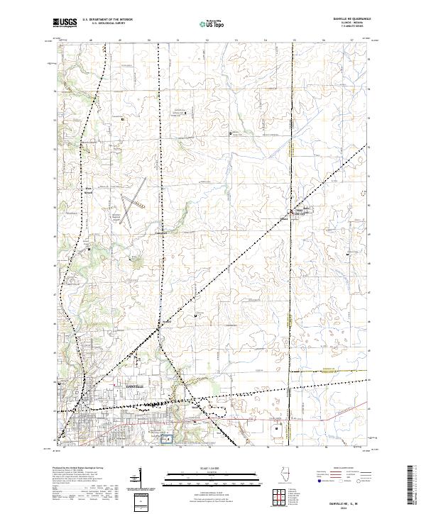
2024 Danville NE
Vermilion County, IL
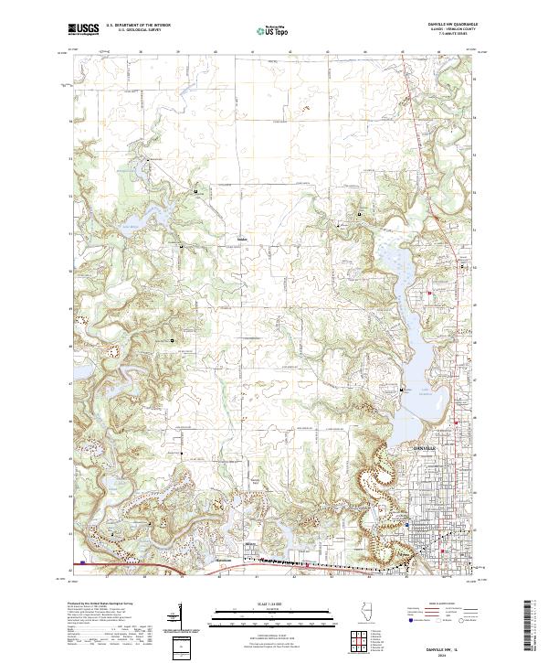
2024 Danville NW
Vermilion County, IL
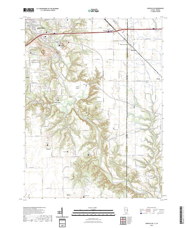
2024 Danville SE
Vermilion County, IL
2024 Danville SW
Vermilion County, IL
2024 Humrick
Vermilion County, IL