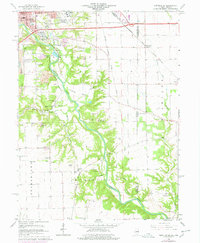
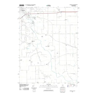
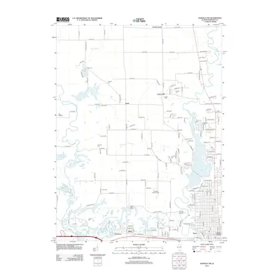
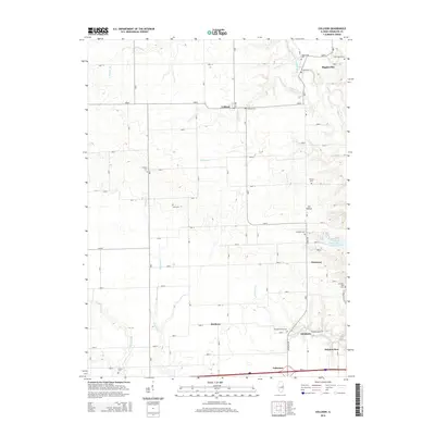
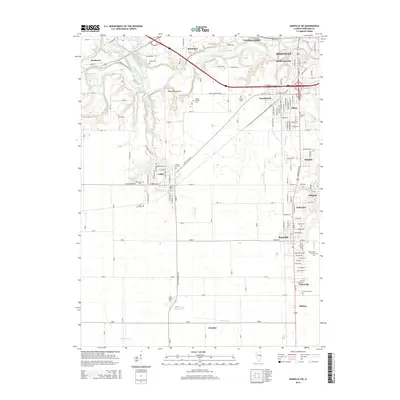
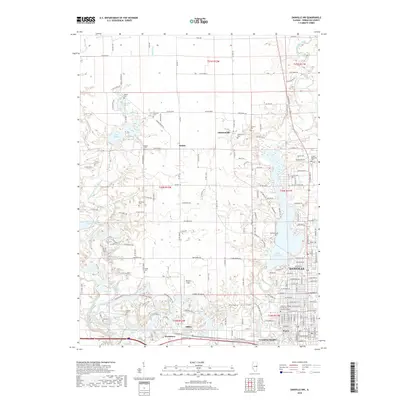
1950 Map of Danville NW
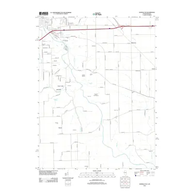
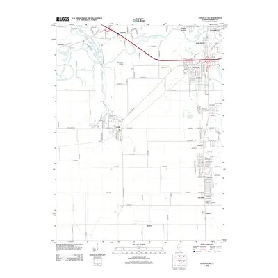
USGS Topo · Published 1950About this map
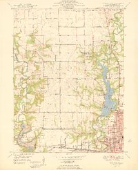
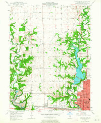
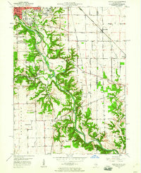
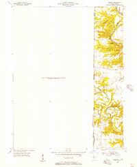
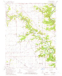
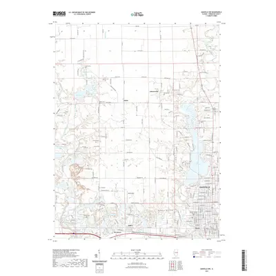
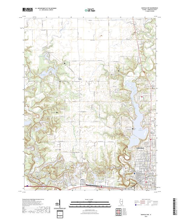
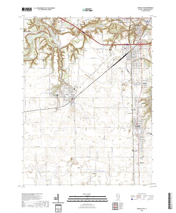
The Vermilion River and its major forks dominate the topography of northwest Vermilion County just as the regional economy was transitioning from heavy extraction toward leisure and infrastructure development. The southwestern corner of this survey reveals the industrial footprint of a massive Strip Mine adjacent to the newly established Kickapoo State Park, where former mining lands were being reclaimed for public recreation. Further east, the sprawling expansion of Danville is visible near Harrison Park and the North Fork Vermilion River, which had been dammed to create a large unnamed reservoir near the Danville Country Club.
Find a feature on this map
54 named features on this map. Tap any name to fly to it.
Don’t see what you’re looking for? This feature index may not catch every label — zoom into the map to look around manually.
Map Details
Editions of this 1950 Danville NW Map
This is the sole edition of this map. No revisions or reprints were ever made.
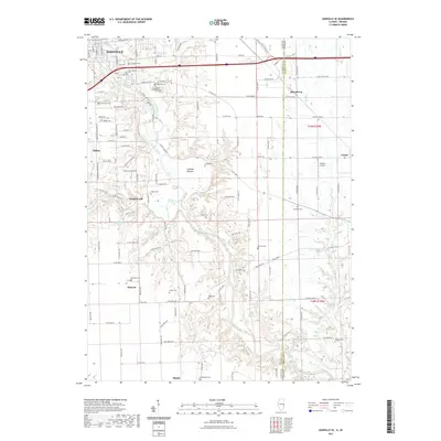
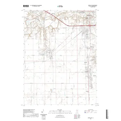
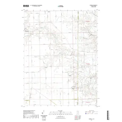
Historical Maps of Danville Through Time
48 maps found
1948 Danville NW
Vermilion County, IL
1949 Danville SW
Vermilion County, IL
1950 Danville NE
Vermilion County, IL
1950 Danville NW
Vermilion County, IL
1950 Danville SE
Vermilion County, IL
1950 Danville SW
Vermilion County, IL
1951 Danville NE
Vermilion County, IL
1951 Danville SE
Vermilion County, IL
1955 Humrick
Vermilion County, IL
1965 Humrick
Vermilion County, IL
1966 Danville NE
Vermilion County, IL
1966 Danville NW
Vermilion County, IL
1966 Danville SE
Vermilion County, IL
1966 Danville SW
Vermilion County, IL
1968 Collison
Vermilion County, IL
2010 Danville NE
Vermilion County, IL
2010 Danville SE
Vermilion County, IL
2010 Humrick
Vermilion County, IL
2012 Collison
Vermilion County, IL
2012 Danville NE
Vermilion County, IL
2012 Danville NW
Vermilion County, IL
2012 Danville SE
Vermilion County, IL
2012 Danville SW
Vermilion County, IL
2012 Humrick
Vermilion County, IL
2015 Collison
Vermilion County, IL
2015 Danville NE
Vermilion County, IL
2015 Danville NW
Vermilion County, IL
2015 Danville SE
Vermilion County, IL
2015 Danville SW
Vermilion County, IL
2015 Humrick
Vermilion County, IL
2018 Collison
Vermilion County, IL
2018 Danville NE
Vermilion County, IL
2018 Danville NW
Vermilion County, IL
2018 Danville SE
Vermilion County, IL

2018 Danville SW
Vermilion County, IL

2018 Humrick
Vermilion County, IL
2021 Collison
Vermilion County, IL
2021 Danville NE
Vermilion County, IL
2021 Danville NW
Vermilion County, IL
2021 Danville SE
Vermilion County, IL
2021 Danville SW
Vermilion County, IL
2021 Humrick
Vermilion County, IL
2024 Collison
Vermilion County, IL
2024 Danville NE
Vermilion County, IL
2024 Danville NW
Vermilion County, IL
2024 Danville SE
Vermilion County, IL
2024 Danville SW
Vermilion County, IL
2024 Humrick
Vermilion County, IL