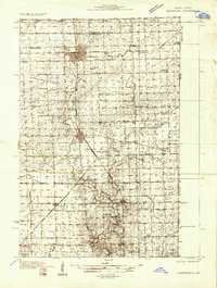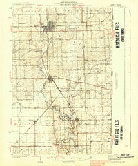
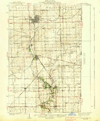
1938 Map of Hoopeston
USGS Topo · Published 1938About this map
Hoopeston and Rossville emerge as primary rail hubs in this pre-war survey of northeastern Vermilion County. The landscape is defined by the convergence of the Chicago and Eastern Illinois, the Chicago Milwaukee St Paul and Pacific, and the Illinois Central railroads, which facilitated the region's agricultural growth. Outside the larger towns, a dense network of country schools like New York Sch and Squankum Sch reflects the era's decentralized rural population. The North Fork Vermilion River and Middle Fork Vermilion River wind through the prairie, passing long-standing community landmarks such as Mann Chapel. Small crossroads and junctions including Cheneyville, Alvin, and Rossville Junc highlight the importance of shipping points for local farmers before the consolidation of modern transit.
Find a feature on this map
69 named features on this map. Tap any name to fly to it.
Don’t see what you’re looking for? This feature index may not catch every label — zoom into the map to look around manually.
Map Details
Editions of this 1938 Hoopeston Map
3 editions found
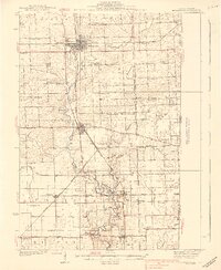
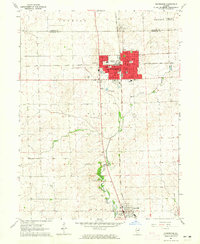
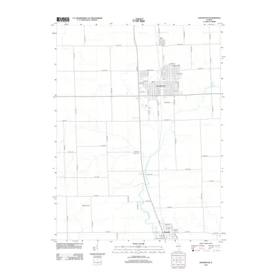
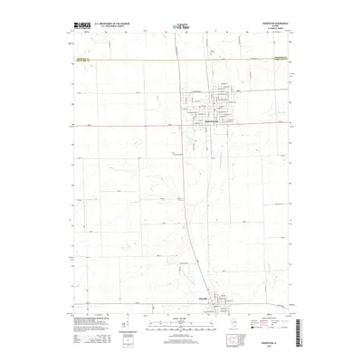
Historical Maps of Hoopeston Through Time
8 maps found