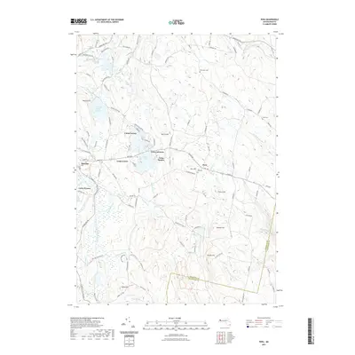
2021 Map of Peru
USGS Topo · Published 2021About this map
Highland elevations and abundant water bodies define this portion of the Berkshire hills, where the towns of Hinsdale and Peru sit among complex topography. The landscape is dotted with several recreation camps, including Camp Taconic, Camp Ashmere, and Camp Danbee, clustered primarily around the shores of Ashmere Lake. These seasonal settlements contrast with the area's older history, marked by the Wentworth Cem, North Cem, and Peru Cem, which speak to early farming families in the region.
Find a feature on this map
122 named features on this map. Tap any name to fly to it.
Don’t see what you’re looking for? This feature index may not catch every label — zoom into the map to look around manually.
Map Details
Editions of this 2021 Peru Map
This is the sole edition of this map. No revisions or reprints were ever made.
Other maps of this area

1886 · Greylock
USGS Topo · 1:62,500

1886 · Hawley
USGS Topo · 1:62,500

1886 · Chesterfield
USGS Topo · 1:62,500

1886 · Becket
USGS Topo · 1:62,500

1888 · Becket
USGS Topo · 1:62,500

1888 · Chesterfield
USGS Topo · 1:62,500

1890 · Hawley
USGS Topo · 1:62,500

1891 · Greylock
USGS Topo · 1:62,500

1893 · Chesterfield
USGS Topo · 1:62,500

1893 · Becket
USGS Topo · 1:62,500