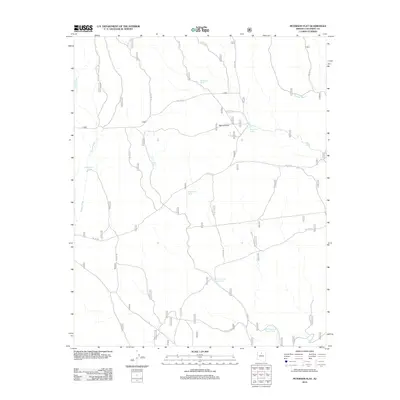
2012 Map of Peterson Flat
USGS Topo · Published 2012About this map
Peterson Flat characterizes this Coconino County landscape, defined by a complex network of seasonal water management and Forest Service access roads. The terrain is marked by numerous livestock tanks, essential infrastructure for the region's ranching operations, such as Michigan Tank, Young Tank, and the dual sites of New Dent and Sayer Tank and Old Dent and Sayer Tank. These features, along with Peterson Tanks, illustrate the critical importance of water storage in this arid environment. Drainage is facilitated by Russell Wash and Tappan Wash, which cut through the high plateau. Movement across the territory relies on a grid of numbered forest routes, including Fire Rd 320 and Red Horse and Willow Tanks Rd, which link the various catchment points and the eponymous flat.
Find a feature on this map
23 named features on this map. Tap any name to fly to it.
Don’t see what you’re looking for? This feature index may not catch every label — zoom into the map to look around manually.
Map Details
Editions of this 2012 Peterson Flat Map
This is the sole edition of this map. No revisions or reprints were ever made.
Other maps of this area

1886 · San Francisco Mtns
USGS Topo · 1:250,000

1891 · San Francisco Mtns
USGS Topo · 1:250,000

1894 · San Francisco Mtns
USGS Topo · 1:250,000

1899 · San Francisco Mtns
USGS Topo · 1:250,000

1947 · Flagstaff
USGS Topo · 1:250,000

1954 · Flagstaff
USGS Topo · 1:250,000

1958 · Flagstaff
USGS Topo · 1:250,000

1960 · Flagstaff
USGS Topo · 1:250,000
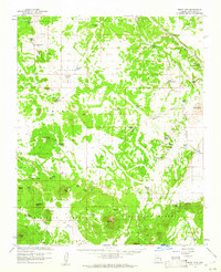
1960 · Ebert Mtn
USGS Topo · 1:62,500

1962 · Flagstaff
USGS Topo · 1:250,000