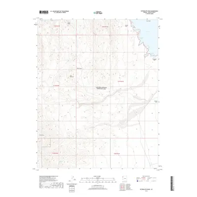
2018 Map of Petroglyph Wash
USGS Topo · Published 2018About this map
Lake Mead and its indented western shoreline define this 2018 study of the Lake Mead National Recreation Area in Mohave County. The landscape transitions from the high elevations of the Black Mountains and Wilson Ridge down to the eastern reaches of the Mojave Desert. This arid terrain is marked by significant drainage systems including Petroglyph Wash and the broad Detrital Valley. Along the water's edge, numerous inlets such as Teakettle Bay, Sidewinder Cove, and Petroglyph Bay provide access to the Virgin Basin. While much of the area is defined by sharp topographic relief like the Stewart Cliffs, isolated water sources like Wildhorse Spring provide critical points of interest in the high desert back-country.
Find a feature on this map
22 named features on this map. Tap any name to fly to it.
Don’t see what you’re looking for? This feature index may not catch every label — zoom into the map to look around manually.
Map Details
Editions of this 2018 Petroglyph Wash Map
This is the sole edition of this map. No revisions or reprints were ever made.
Other maps of this area

1886 · Camp Mohave
USGS Topo · 1:250,000

1886 · Saint Thomas
USGS Topo · 1:250,000

1892 · Camp Mohave
USGS Topo · 1:250,000

1893 · Saint Thomas
USGS Topo · 1:250,000

1926 · Nelson
USGS Topo · 1:96,000

1926 · Bonelli
USGS Topo · 1:96,000

1926 · Boulder Canyon
USGS Topo · 1:96,000

1942 · Camp Mohave
USGS Topo · 1:250,000

1947 · Kingman
USGS Topo · 1:250,000

1948 · Kingman
USGS Topo · 1:250,000