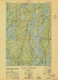
1950 Map of Phippsburg
USGS Topo · Published 1950About this map
Fort Popham stands as a sentinel at the mouth of the Kennebec River, anchoring a coastal landscape defined by the intricate waterways of Sagadahoc County. This mid-century survey captures the rugged shoreline from Popham Beach up toward Winnegance, revealing a maritime economy shaped by both natural resources and navigation. Interior ridges like Pasture Ridge and Ridge are dotted with family heritage sites, including the Gilman and Bilston Cem and Drummond Cem.
Find a feature on this map
125 named features on this map. Tap any name to fly to it.
Don’t see what you’re looking for? This feature index may not catch every label — zoom into the map to look around manually.
Map Details
Editions of this 1950 Phippsburg Map
This is the sole edition of this map. No revisions or reprints were ever made.
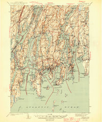
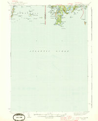
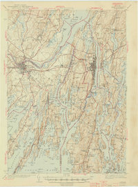
Other maps of this area

1893 · Small Point
USGS Topo · 1:62,500

1893 · Boothbay
USGS Topo · 1:62,500

1894 · Bath
USGS Topo · 1:62,500

1919 · Small Point
USGS Topo · 1:62,500

1920 · Bath
USGS Topo · 1:62,500

1941 · Boothbay
USGS Topo · 1:62,500

1943 · Boothbay
USGS Topo · 1:62,500
1944 · Boothbay
USGS Topo · 1:62,500
1944 · Small Point
USGS Topo · 1:62,500
1945 · Bath
USGS Topo · 1:62,500