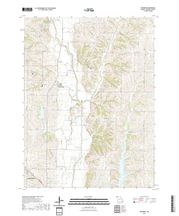
2021 Map of Pickering
USGS Topo · Published 2021About this map
The One Hundred and Two River meanders through the heart of this Nodaway County landscape, defining the agricultural rhythm of the area surrounding Pickering. This modern survey highlights a region shaped by its water management and rolling terrain, featuring a network of reservoirs and smaller bodies such as Mozingo Lake, Randall Lake, and Nodaway Number 4 Lake. The land rises into the Pinhook Hills and drops into the corridors of Jack Hollow and Long Hollow, illustrating the diverse topography of northwestern Missouri.
Find a feature on this map
53 named features on this map. Tap any name to fly to it.
Don’t see what you’re looking for? This feature index may not catch every label — zoom into the map to look around manually.
Map Details
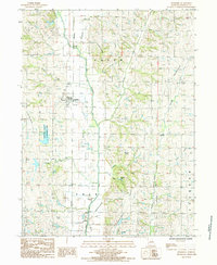
Editions of this 2021 Pickering Map
This is the sole edition of this map. No revisions or reprints were ever made.
Historical Maps of Pickering Through Time
Featured Locations
- Jackson Township, MO
- Polk Township, MO
- Union Township, MO
- Pickering, Union Township
- Maryville, Polk Township