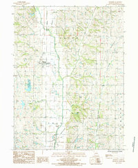
1985 Map of Pickering
USGS Topo · Published 1995About this map
Pickering serves as the primary settlement within this section of Nodaway County, situated just west of the winding course of the One Hundred and Two River. The landscape is defined by its drainage network, with several waterways including Slaughter Branch, Harmon Creek, and Norvey Creek converging toward the main river valley. This 1985 provisional study captures the area during a period of established rural infrastructure, showing the township divisions of Union, Polk, and Jackson.
Find a feature on this map
19 named features on this map. Tap any name to fly to it.
Don’t see what you’re looking for? This feature index may not catch every label — zoom into the map to look around manually.
Map Details
Editions of this 1985 Pickering Map
This is the sole edition of this map. No revisions or reprints were ever made.
Other maps of this area

1940 · Bedford
USGS Topo · 1:62,500

1940 · New Market
USGS Topo · 1:62,500

1940 · Parnell
USGS Topo · 1:62,500

1943 · Bedford
USGS Topo · 1:62,500

1943 · Parnell
USGS Topo · 1:62,500

1943 · Maryville
USGS Topo · 1:62,500

1943 · New Market
USGS Topo · 1:62,500

1955 · Nebraska City
USGS Topo · 1:250,000

1957 · Nebraska City
USGS Topo · 1:250,000

1958 · Nebraska City
USGS Topo · 1:250,000