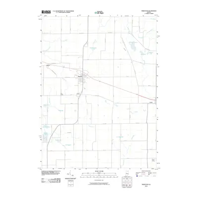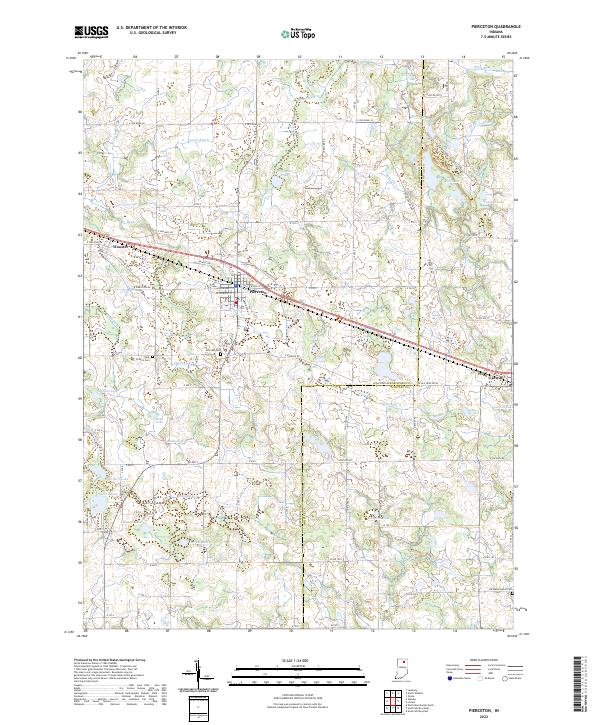
2022 Map of Pierceton
USGS Topo · Published 2022About this map
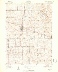
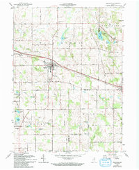
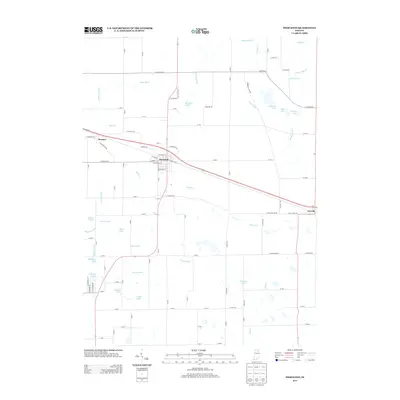
The town of Pierceton serves as the central hub of this modern survey, situated along the historic alignment of E Old Road 30 and the railroad corridor. The landscape is defined by the glacial geography of northern Indiana, characterized by an intricate network of wetlands, ditches, and numerous small water bodies such as Pierceton Lake, Reed Lake, and the distinctly named Tadpole Lake. To the west, the smaller settlement of Wooster sits at a highway junction, while Larwill anchors the eastern edge of the map near the Whitley Co line.
Find a feature on this map
76 named features on this map. Tap any name to fly to it.
Don’t see what you’re looking for? This feature index may not catch every label — zoom into the map to look around manually.
Map Details
Editions of this 2022 Pierceton Map
This is the sole edition of this map. No revisions or reprints were ever made.
Historical Maps of Pierceton Through Time
7 maps found