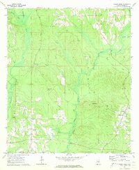
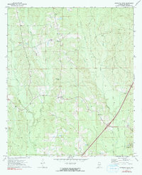
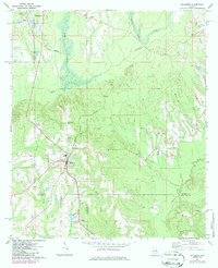
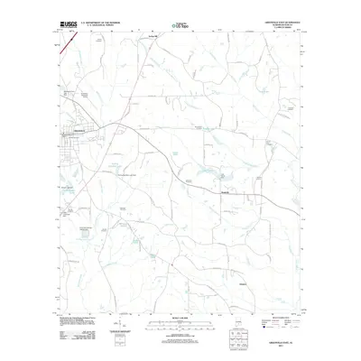
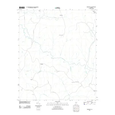
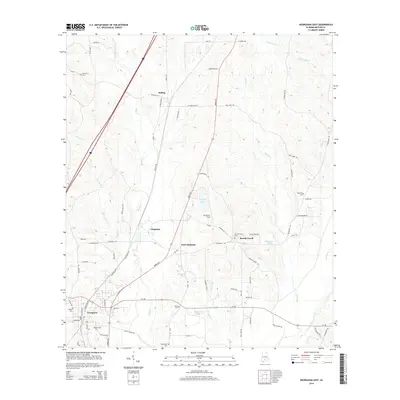
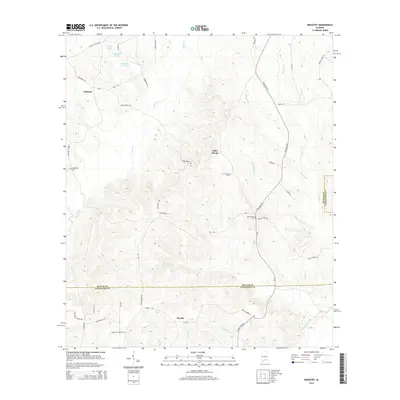
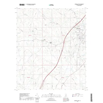
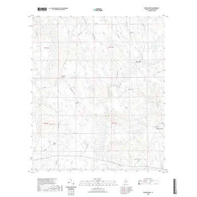
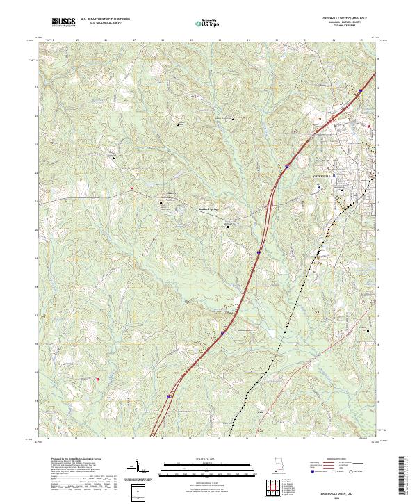
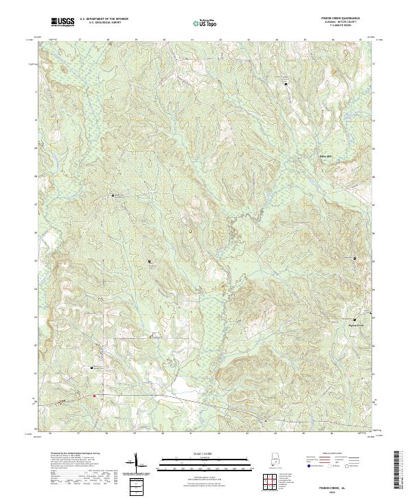
1971 Map of Pigeon Creek
USGS Topo · Published 1973About this map
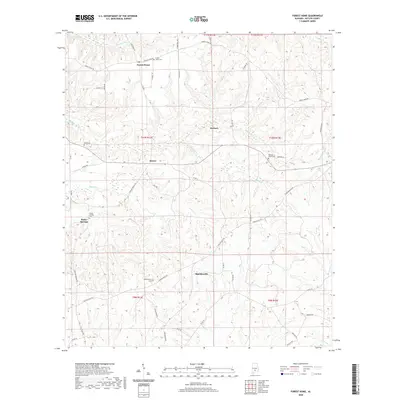
Pigeon Creek and its numerous tributaries, including Hard Labor Creek and Deep Step Creek, define the topography of this rural stretch of Butler County. The landscape in the early 1970s was primarily agricultural and timber-oriented, anchored by a network of country churches and family cemeteries. Significant landmarks include Halso Mill and the Pigeon Creek Lookout Tower, the latter serving as a high-point sentinel over the surrounding forests. Genealogists will find a wealth of records in the placement of Mt Carmel Ch Cem, New Prospect Ch Cem, Ebenezer Cem, and Shiloh Cem. The area is characterized by small, dispersed community hubs like those found around Spring Hill Ch and Mt Olive East Ch, connected by unpaved roads and state routes that followed the drainage divides between Persimmon Creek and Hawkins Creek.
Find a feature on this map
18 named features on this map. Tap any name to fly to it.
Don’t see what you’re looking for? This feature index may not catch every label — zoom into the map to look around manually.
Map Details
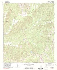
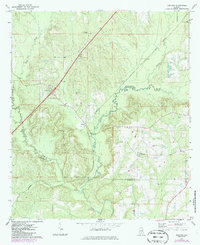
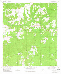
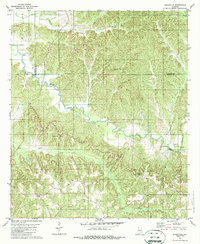
Editions of this 1971 Pigeon Creek Map
This is the sole edition of this map. No revisions or reprints were ever made.
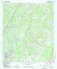
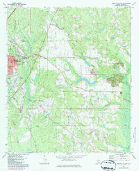
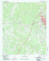
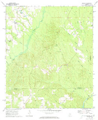
Historical Maps of Halso Mill Through Time
61 maps found
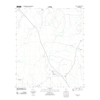
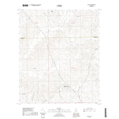
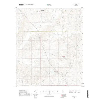
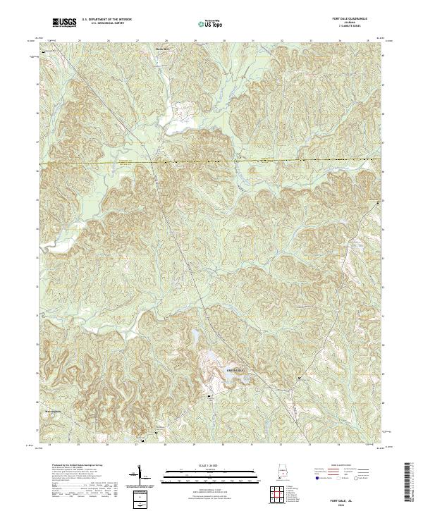
1971 Fort Dale
Butler County, AL
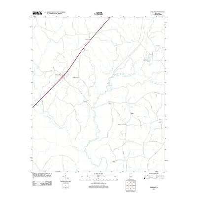
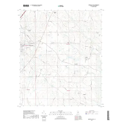
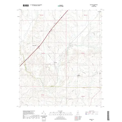
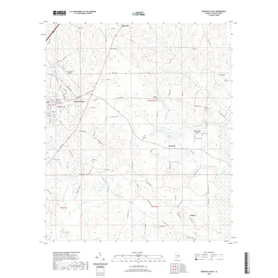
1971 Garland
Butler County, AL
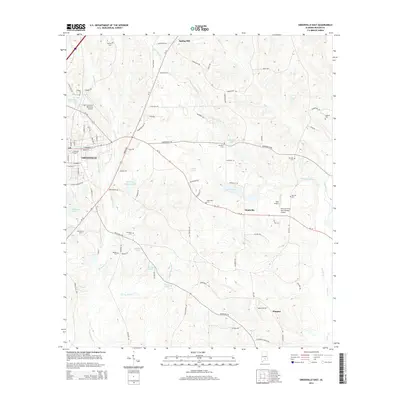
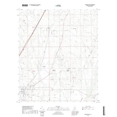
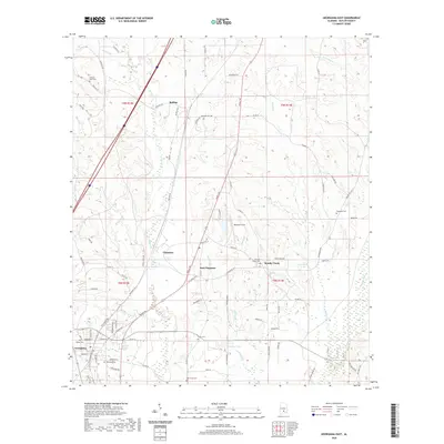
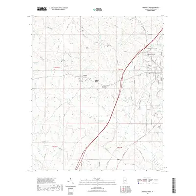
1971 Georgiana East
Butler County, AL
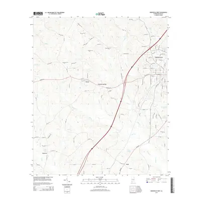
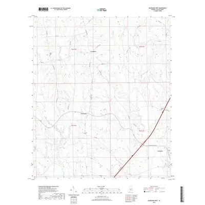
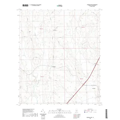
1971 Georgiana West
Butler County, AL
1971 Greenville East
Butler County, AL
1971 Greenville West
Butler County, AL
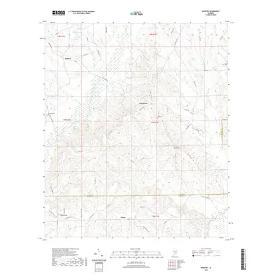
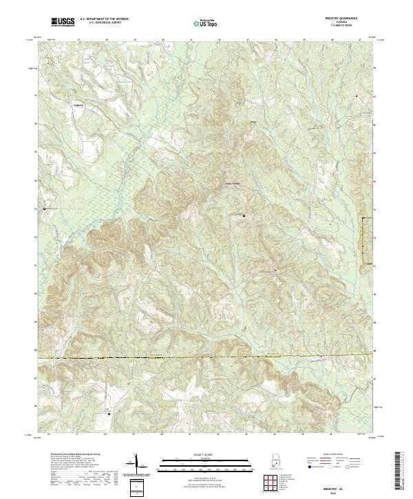
1971 Industry
Butler County, AL
1971 Mc Kenzie
Butler County, AL
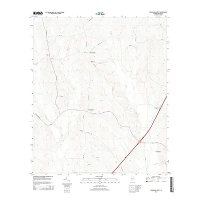
1971 Pigeon Creek
Butler County, AL
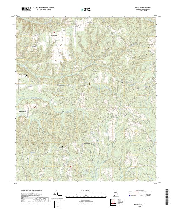
1981 Forest Home
Butler County, AL
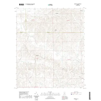
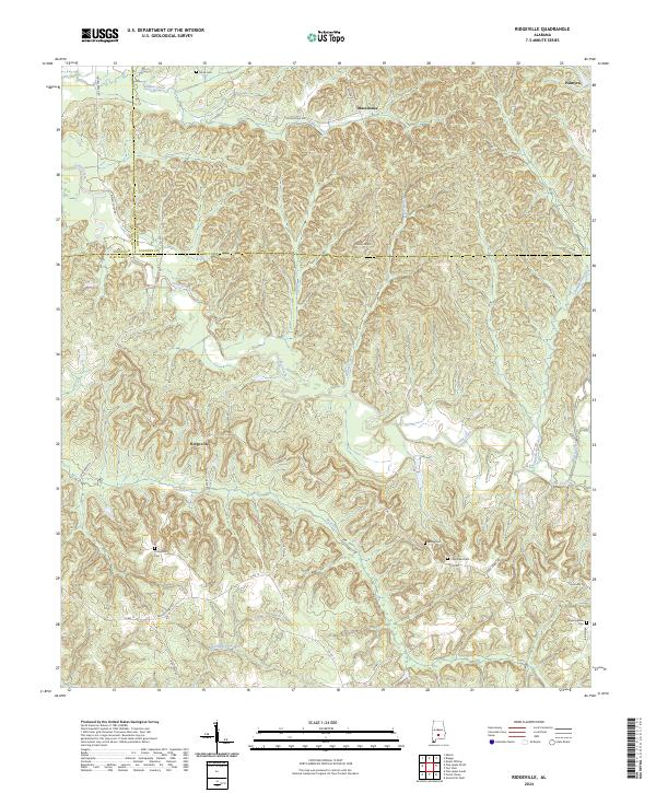
1981 Ridgeville
Butler County, AL
2011 Forest Home
Butler County, AL
2011 Fort Dale
Butler County, AL
2011 Garland
Butler County, AL
2011 Georgiana East
Butler County, AL
2011 Georgiana West
Butler County, AL
2011 Greenville East
Butler County, AL
2011 Greenville West
Butler County, AL
2011 Industry
Butler County, AL
2011 Pigeon Creek
Butler County, AL
2011 Ridgeville
Butler County, AL
2014 Forest Home
Butler County, AL
2014 Fort Dale
Butler County, AL
2014 Garland
Butler County, AL
2014 Georgiana East
Butler County, AL
2014 Georgiana West
Butler County, AL
2014 Greenville East
Butler County, AL
2014 Greenville West
Butler County, AL
2014 Industry
Butler County, AL
2014 Pigeon Creek
Butler County, AL
2014 Ridgeville
Butler County, AL
2018 Forest Home
Butler County, AL
2018 Fort Dale
Butler County, AL

2018 Garland
Butler County, AL
2018 Georgiana East
Butler County, AL
2018 Georgiana West
Butler County, AL
2018 Greenville East
Butler County, AL
2018 Greenville West
Butler County, AL
2018 Industry
Butler County, AL
2018 Pigeon Creek
Butler County, AL
2018 Ridgeville
Butler County, AL
2020 Forest Home
Butler County, AL
2020 Fort Dale
Butler County, AL
2020 Garland
Butler County, AL
2020 Georgiana East
Butler County, AL
2020 Georgiana West
Butler County, AL
2020 Greenville East
Butler County, AL
2020 Greenville West
Butler County, AL
2020 Industry
Butler County, AL
2020 Pigeon Creek
Butler County, AL
2020 Ridgeville
Butler County, AL
2024 Forest Home
Butler County, AL
2024 Fort Dale
Butler County, AL
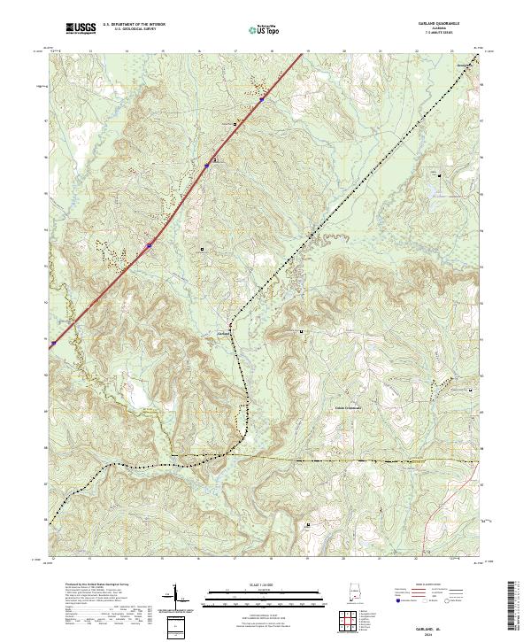
2024 Garland
Butler County, AL
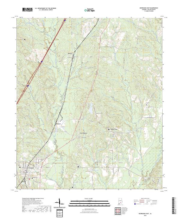
2024 Georgiana East
Butler County, AL
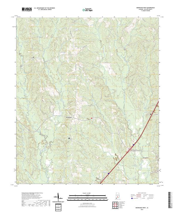
2024 Georgiana West
Butler County, AL
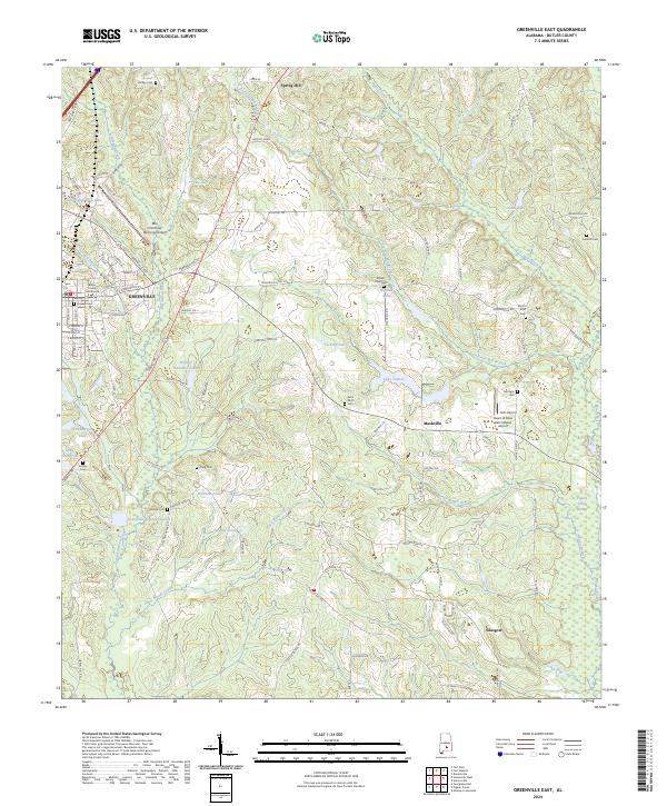
2024 Greenville East
Butler County, AL
2024 Greenville West
Butler County, AL
2024 Industry
Butler County, AL
2024 Pigeon Creek
Butler County, AL
2024 Ridgeville
Butler County, AL