Loading...
Loading map...2024 Map of Pine Lakes
USGS Topo · Published 2024About this map
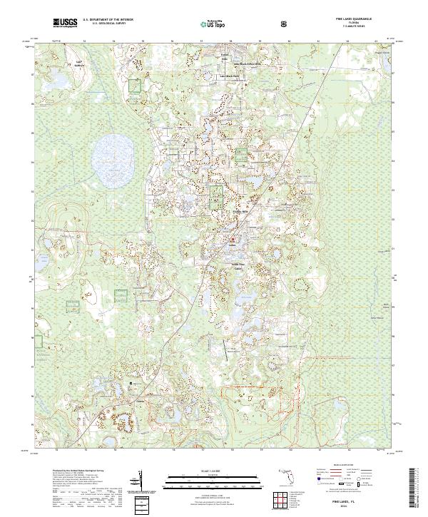
Ocala National Forest dominates much of this landscape in Lake County, where residential clusters like Pine Lakes and Florida Hills are interspersed among a dense network of water bodies. The settlement pattern here is deeply tied to the terrain, with small communities established near named lakes such as Lake Mack, Bear Lake, and Lake Tracy. To the south, the community of Cassia serves as a local focal point, evidenced by the presence of the Cassia Church and Cassia Cem.
Find a feature on this map
147 named features on this map. Tap any name to fly to it.
Don’t see what you’re looking for? This feature index may not catch every label — zoom into the map to look around manually.
Map Details
Date Portrayed2024
Date Published2024
PublisherU.S. Geological Survey
Map TypeTopographic
Scale1:24000
Physical Dimensions24 x 29 inches
Editions of this 2024 Pine Lakes Map
This is the sole edition of this map. No revisions or reprints were ever made.
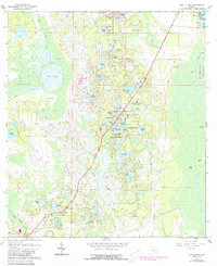
Historical Maps of Pine Hills Through Time
Featured Locations
Source Details
SourceU.S. Geological Survey
CopyrightPublic Domain