Loading...
Loading map...2024 Map of Pinson
USGS Topo · Published 2024About this map
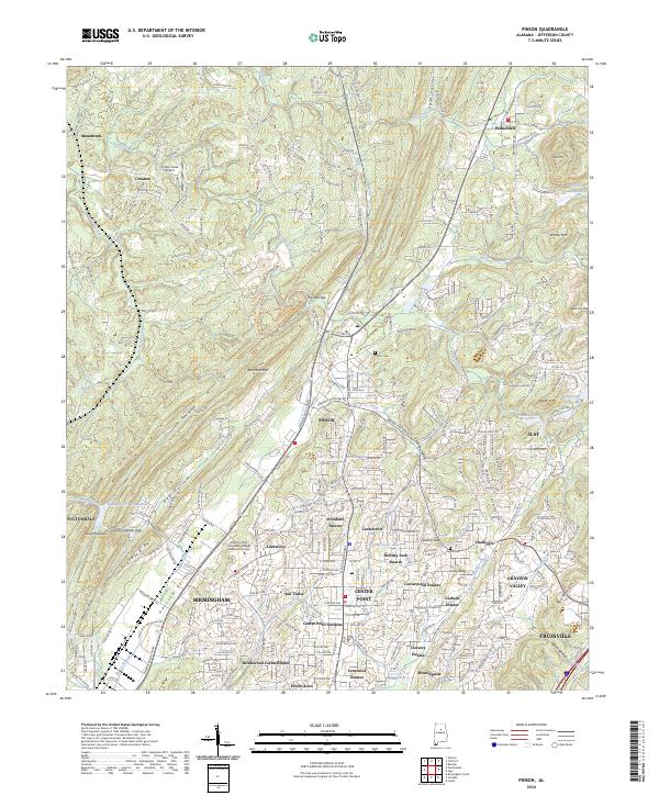
Pinson and its surrounding communities in Jefferson County occupy a landscape defined by the parallel ridges of Red Mountain and Gravel Ridge. This 2024 survey illustrates the dense suburban character of the northeast Birmingham metropolitan area, where established neighborhoods like Woodaire Estates, Sun Valley, and Grayson Valley are woven between the sharp relief of Opussum Valley and Red Hollow.
Find a feature on this map
77 named features on this map. Tap any name to fly to it.
Don’t see what you’re looking for? This feature index may not catch every label — zoom into the map to look around manually.
Map Details
Date Portrayed2024
Date Published2024
PublisherU.S. Geological Survey
Map TypeTopographic
Scale1:24000
Physical Dimensions24 x 29 inches
Editions of this 2024 Pinson Map
This is the sole edition of this map. No revisions or reprints were ever made.
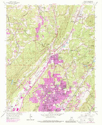
Historical Maps of Morningside Through Time
3 maps found
Featured Locations
Source Details
SourceU.S. Geological Survey
CopyrightPublic Domain