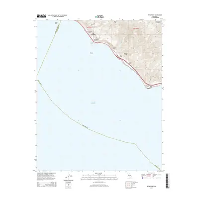
2015 Map of Pitas Point
USGS Topo · Published 2015About this map
Rincon Point marks a prominent geography where the Santa Barbara and Ventura County line meets the Pacific Ocean. This coastal survey highlights the narrow strip of human settlement clinging to the base of the Santa Ynez Mountains, where the community of La Conchita and the offshore Rincon Island represent the delicate balance of coastal development. The landscape is defined by steep drainage systems like Madranio Canyon and Javon Canyon that cut through the marine terraces to reach the sea. Further south along the surf, the small enclaves of Muscle Shoals, Sea Cliff, and Faria line the narrow corridor between the rising slopes of Rincon Mtn and the shoreline near Pitas Point. The mapping of Los Sauces Cr and the various beaches illustrates the complex topography of this famous stretch of the California coastline.
Find a feature on this map
26 named features on this map. Tap any name to fly to it.
Don’t see what you’re looking for? This feature index may not catch every label — zoom into the map to look around manually.
Map Details
Editions of this 2015 Pitas Point Map
This is the sole edition of this map. No revisions or reprints were ever made.
Other maps of this area

1904 · Ventura
USGS Topo · 1:62,500

1941 · Ventura
USGS Topo · 1:62,500
1944 · Carpinteria
USGS Topo · 1:31,680

1949 · Los Angeles
USGS Topo · 1:250,000
1950 · Pitas Point
USGS Topo · 1:24,000
1951 · Pitas Point
USGS Topo · 1:24,000
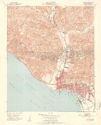
1951 · Ventura
USGS Topo · 1:24,000
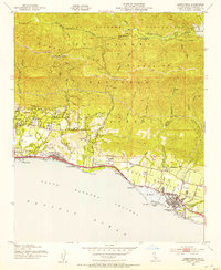
1952 · Carpinteria
USGS Topo · 1:24,000
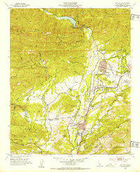
1952 · Matilija
USGS Topo · 1:24,000
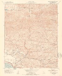
1952 · White Ledge Peak
USGS Topo · 1:24,000