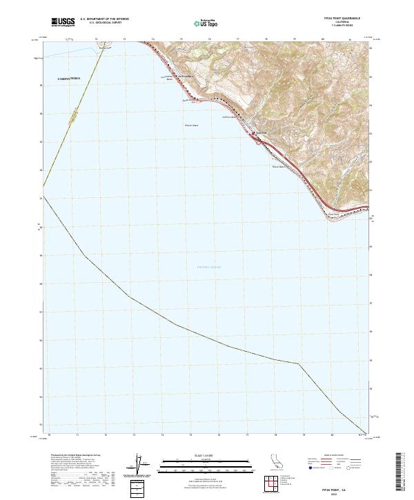
2022 Map of Pitas Point
USGS Topo · Published 2022About this map
Rincon Mtn looms over the narrow coastal shelf where the Santa Barbara and Ventura county lines meet along the Pacific Ocean. This survey reveals a landscape tightly constrained by geology, where the historic El Camino Real and modern transport corridors are squeezed between steep canyon walls and the surf. Coastal settlements like La Conchita and Sea Cliff occupy these precarious strips of land, while offshore, the man-made Rincon Island stands as a distinct landmark. The map documents an intricate network of recreation and access, including the Ventura County 101 Bike Path Trl and the Rincon Parkway Trl, which connect various shore points such as Oil Piers Beach and Pitas Point. Inland, the topography is defined by deep incisions like Madranio Canyon and Padre Juan Canyon, illustrating the dramatic rise from sea level to high ridges over a very short distance.
Find a feature on this map
30 named features on this map. Tap any name to fly to it.
Don’t see what you’re looking for? This feature index may not catch every label — zoom into the map to look around manually.
Map Details
Editions of this 2022 Pitas Point Map
This is the sole edition of this map. No revisions or reprints were ever made.
Other maps of this area

1904 · Ventura
USGS Topo · 1:62,500

1941 · Ventura
USGS Topo · 1:62,500
1944 · Carpinteria
USGS Topo · 1:31,680

1949 · Los Angeles
USGS Topo · 1:250,000
1950 · Pitas Point
USGS Topo · 1:24,000
1951 · Pitas Point
USGS Topo · 1:24,000
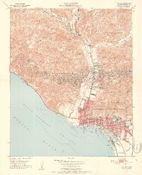
1951 · Ventura
USGS Topo · 1:24,000
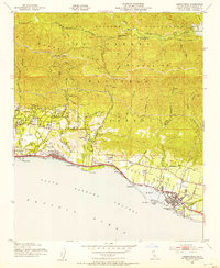
1952 · Carpinteria
USGS Topo · 1:24,000
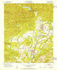
1952 · Matilija
USGS Topo · 1:24,000
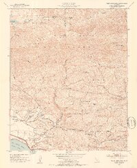
1952 · White Ledge Peak
USGS Topo · 1:24,000