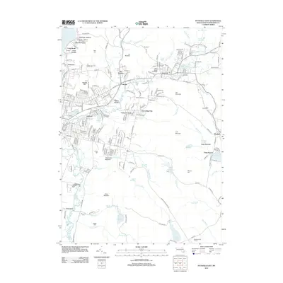
2012 Map of Pittsfield East
USGS Topo · Published 2012About this map
Pontoosuc Lake and the Hoosic River anchor the northern landscape of this region, which transitions from the urbanized neighborhoods of Pittsfield into the industrial and recreational corridors of central Berkshire County. The East Branch Housatonic River winds through Dalton and Coltsville, highlighting a valley historically shaped by the paper industry and rail connections. Pockets of residential growth like Pontoosuc Gardens and Lakewood sit alongside significant institutional sites, including the G E Athletic Association Golf Course.
Find a feature on this map
131 named features on this map. Tap any name to fly to it.
Don’t see what you’re looking for? This feature index may not catch every label — zoom into the map to look around manually.
Map Details
Editions of this 2012 Pittsfield East Map
This is the sole edition of this map. No revisions or reprints were ever made.
Other maps of this area

1886 · Greylock
USGS Topo · 1:62,500

1886 · Becket
USGS Topo · 1:62,500

1888 · Becket
USGS Topo · 1:62,500

1888 · Berlin
USGS Topo · 1:62,500

1888 · Pittsfield
USGS Topo · 1:62,500

1890 · Pittsfield
USGS Topo · 1:62,500

1890 · Berlin
USGS Topo · 1:62,500

1891 · Greylock
USGS Topo · 1:62,500

1893 · Becket
USGS Topo · 1:62,500

1893 · Greylock
USGS Topo · 1:62,500