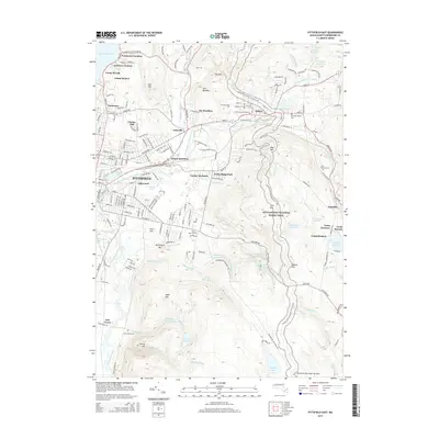
2015 Map of Pittsfield East
USGS Topo · Published 2015About this map
The East Branch Housatonic River flows through a landscape of industrial history and protected terrain in the Berkshires. The city of Pittsfield serves as the western anchor, with residential pockets like Lakewood and Lakeview Terrace bordering significant water features such as Silver Lake and Goodrich Pond. To the east, the town of Dalton is centered near several burial grounds, including the Main Street Cemetery and East Main Street Cem, reflecting its deep-seated community roots.
Find a feature on this map
72 named features on this map. Tap any name to fly to it.
Don’t see what you’re looking for? This feature index may not catch every label — zoom into the map to look around manually.
Map Details
Editions of this 2015 Pittsfield East Map
This is the sole edition of this map. No revisions or reprints were ever made.
Other maps of this area

1886 · Greylock
USGS Topo · 1:62,500

1886 · Becket
USGS Topo · 1:62,500

1888 · Becket
USGS Topo · 1:62,500

1888 · Berlin
USGS Topo · 1:62,500

1888 · Pittsfield
USGS Topo · 1:62,500

1890 · Pittsfield
USGS Topo · 1:62,500

1890 · Berlin
USGS Topo · 1:62,500

1891 · Greylock
USGS Topo · 1:62,500

1893 · Becket
USGS Topo · 1:62,500

1893 · Greylock
USGS Topo · 1:62,500