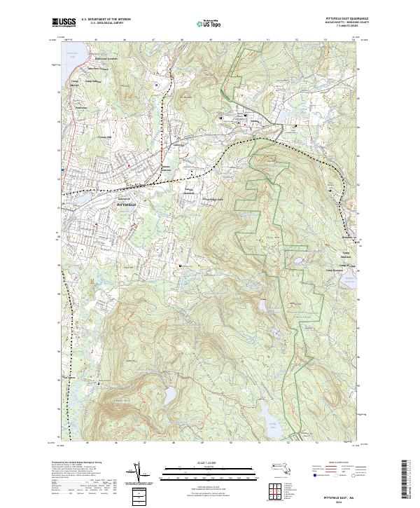
2024 Map of Pittsfield East
USGS Topo · Published 2024About this map
The East Branch Housatonic River carves through the heart of the Berkshire landscape, anchoring industrial and residential growth in the eastern portion of Pittsfield. The urban density of neighborhoods like Lakewood and Victory Hill transitions quickly into the steep slopes of the Berkshire Hills, where the Appalachian National Scenic Trail winds across Day Mountain and Warner Hill. This modern survey reveals a complex water management system necessary for the region's historical development, featuring numerous reservoirs such as Hathaway Reservoir, Ashley Reservoir, and the Lower Sackett Reservoir. Along the eastern margin, the village of Dalton is clearly defined by its residential core and cemeteries including Ashuelot Cem and Main Street Cem. The southern reach is dominated by the vast terrain of Washington Mountain, crisscrossed by various hiking routes like the October Mountain Trail.
Find a feature on this map
77 named features on this map. Tap any name to fly to it.
Don’t see what you’re looking for? This feature index may not catch every label — zoom into the map to look around manually.
Map Details
Editions of this 2024 Pittsfield East Map
This is the sole edition of this map. No revisions or reprints were ever made.
Other maps of this area

1886 · Greylock
USGS Topo · 1:62,500

1886 · Becket
USGS Topo · 1:62,500

1888 · Becket
USGS Topo · 1:62,500

1888 · Berlin
USGS Topo · 1:62,500

1888 · Pittsfield
USGS Topo · 1:62,500

1890 · Pittsfield
USGS Topo · 1:62,500

1890 · Berlin
USGS Topo · 1:62,500

1891 · Greylock
USGS Topo · 1:62,500

1893 · Becket
USGS Topo · 1:62,500

1893 · Greylock
USGS Topo · 1:62,500