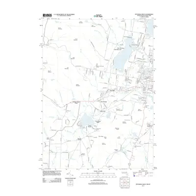
2012 Map of Pittsfield West
USGS Topo · Published 2012About this map
Hancock Shaker Village anchors the western side of this terrain, marking a preserved cultural landscape at the foot of Mount Lebanon. The map detail captures the interface between the urbanized fringes of the city and the high ridges of the Berkshires, including Yokun Ridge and Lenox Mountain. Significant water bodies like Onota Lake and Richmond Pond are shown alongside smaller residential nodes such as Barkerville and Stearnsville. Local history researchers can identify numerous burial grounds, including the North Cem near the Shaker settlement and the large Pittsfield Cem near the Housatonic River. The landscape is further defined by recreational and educational sites, from the campus of Berkshire Community College to the slopes of the Bousquet Ski Area and Catamount Ski Area.
Find a feature on this map
204 named features on this map. Tap any name to fly to it.
Don’t see what you’re looking for? This feature index may not catch every label — zoom into the map to look around manually.
Map Details
Editions of this 2012 Pittsfield West Map
This is the sole edition of this map. No revisions or reprints were ever made.
Other maps of this area

1886 · Greylock
USGS Topo · 1:62,500

1886 · Becket
USGS Topo · 1:62,500

1888 · Becket
USGS Topo · 1:62,500

1888 · Berlin
USGS Topo · 1:62,500

1888 · Pittsfield
USGS Topo · 1:62,500

1890 · Pittsfield
USGS Topo · 1:62,500

1890 · Berlin
USGS Topo · 1:62,500

1891 · Greylock
USGS Topo · 1:62,500

1893 · Becket
USGS Topo · 1:62,500

1893 · Greylock
USGS Topo · 1:62,500