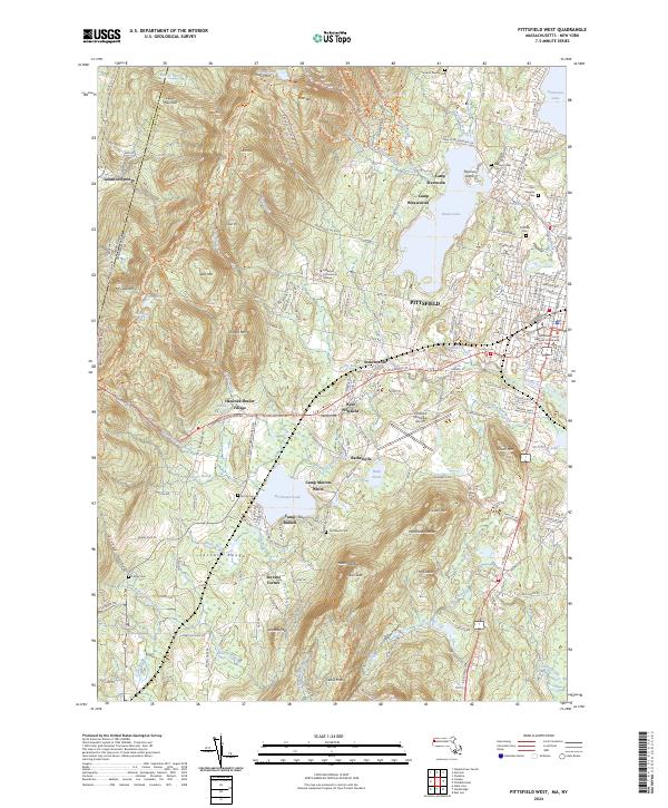
2024 Map of Pittsfield West
USGS Topo · Published 2024About this map
Hancock Shaker Village and the high ridges of the Taconic Range anchor this modern landscape where the border of Massachusetts and New York meets the western edge of Pittsfield. The topography is defined by the sharp rise of Mt Lebanon and Doll Mtn, creating a dramatic backdrop for the sprawling city limits and the recreational waters of Onota Lake and Richmond Pond. The presence of several historic burial grounds, including Pittsfield Cem and Saint Josephs Cem, provides a significant inventory of the area's genealogical geography.
Find a feature on this map
179 named features on this map. Tap any name to fly to it.
Don’t see what you’re looking for? This feature index may not catch every label — zoom into the map to look around manually.
Map Details
Editions of this 2024 Pittsfield West Map
This is the sole edition of this map. No revisions or reprints were ever made.
Other maps of this area

1886 · Greylock
USGS Topo · 1:62,500

1886 · Becket
USGS Topo · 1:62,500

1888 · Becket
USGS Topo · 1:62,500

1888 · Berlin
USGS Topo · 1:62,500

1888 · Pittsfield
USGS Topo · 1:62,500

1890 · Pittsfield
USGS Topo · 1:62,500

1890 · Berlin
USGS Topo · 1:62,500

1891 · Greylock
USGS Topo · 1:62,500

1893 · Becket
USGS Topo · 1:62,500

1893 · Greylock
USGS Topo · 1:62,500