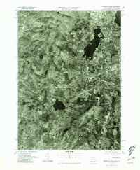
1975 Map of Pittsfield West
USGS Topo · Published 1981About this map
Pittsfield anchors the eastern edge of this orthophotograph, where urban development meets the varied water bodies of the Berkshire landscape. The 1975 aerial imagery provides a clear view of the city's residential and commercial expansion toward the shores of Onota Lake and Pontoosuc Lake. To the west, the terrain shifts into more open and agricultural spaces, marked by smaller communities and historic clusters.
Find a feature on this map
7 named features on this map. Tap any name to fly to it.
Don’t see what you’re looking for? This feature index may not catch every label — zoom into the map to look around manually.
Map Details
Editions of this 1975 Pittsfield West Map
This is the sole edition of this map. No revisions or reprints were ever made.
Other maps of this area

1886 · Greylock
USGS Topo · 1:62,500

1886 · Becket
USGS Topo · 1:62,500

1888 · Becket
USGS Topo · 1:62,500

1888 · Berlin
USGS Topo · 1:62,500

1888 · Pittsfield
USGS Topo · 1:62,500

1890 · Pittsfield
USGS Topo · 1:62,500

1890 · Berlin
USGS Topo · 1:62,500

1891 · Greylock
USGS Topo · 1:62,500

1893 · Becket
USGS Topo · 1:62,500

1893 · Greylock
USGS Topo · 1:62,500