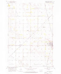
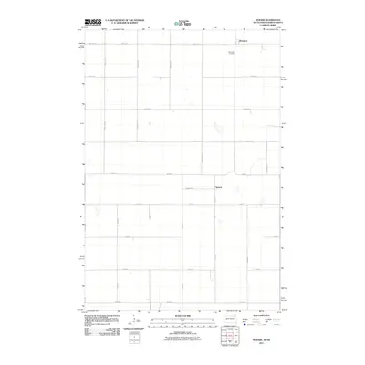
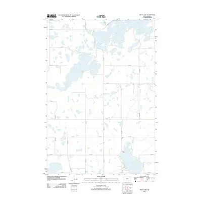
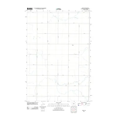
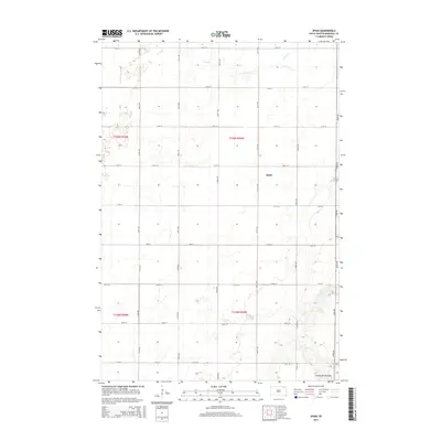
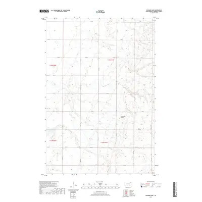
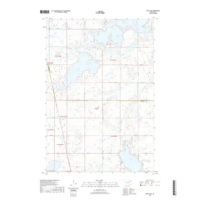
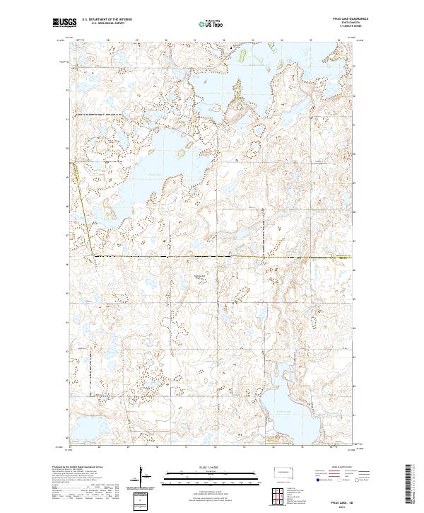
1970 Map of Piyas Lake
USGS Topo · Published 1973About this map
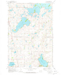
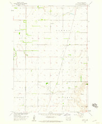
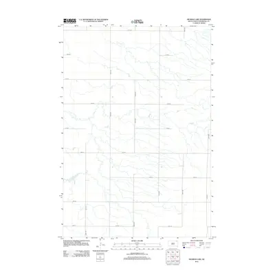
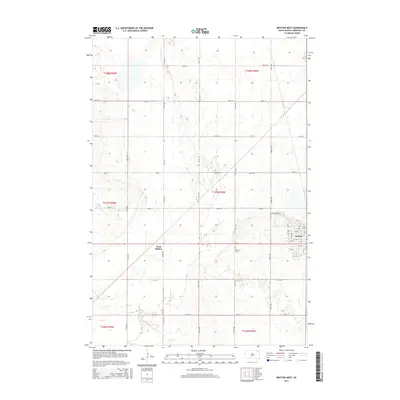
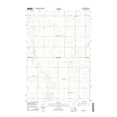
Piyas Lake and the surrounding glacial prairie of the Coteau des Prairies dominate this landscape at the intersection of Marshall and Day counties. The 1970 survey captures a region defined by its water and conservation efforts, featuring the National Wildlife Management Area and the recreational development at Pickerel Lake State Park. Social and spiritual centers of the rural community are anchored by the Buffalo Lake Ch, an isolated Cem, and a Church Camp situated on the southern shores of Pickerel Lake. The map details the complex boundaries of local townships including Eden, Nutley, Kosciusko, and Grenville, while also noting the Indian Reservation Boundary that bisects the northern sections. This topographic study preserves the mid-century layout of section roads and small-scale resource extraction like the Gravel Pit near the lakeshore.
Find a feature on this map
16 named features on this map. Tap any name to fly to it.
Don’t see what you’re looking for? This feature index may not catch every label — zoom into the map to look around manually.
Map Details
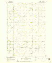
Editions of this 1970 Piyas Lake Map
This is the sole edition of this map. No revisions or reprints were ever made.
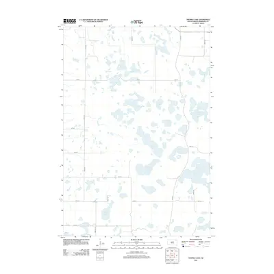
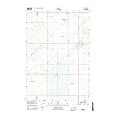
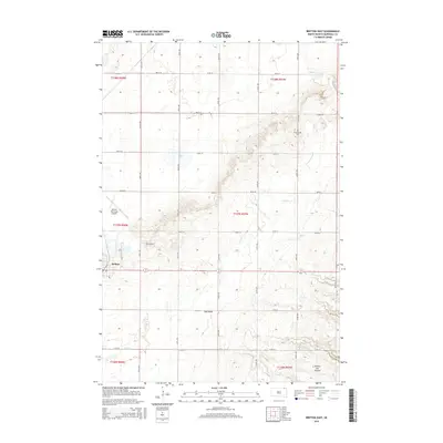
Historical Maps of Enemy Swim District Through Time
65 maps found
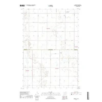
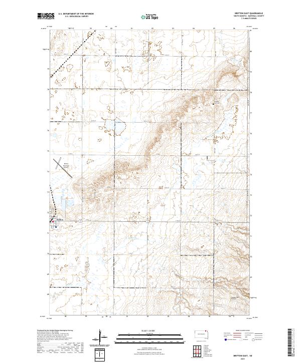
1953 Britton East
Marshall County, SD
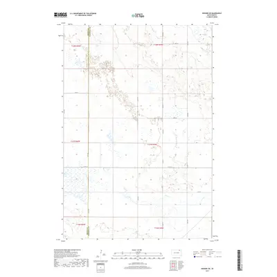
1953 Newark SW
Marshall County, SD
1954 Kidder SE
Marshall County, SD
1956 Britton West
Marshall County, SD
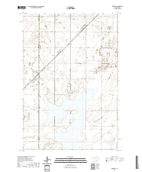
1958 Amherst
Marshall County, SD
1958 Hickman Lake
Marshall County, SD
1958 Hillhead
Marshall County, SD
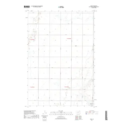
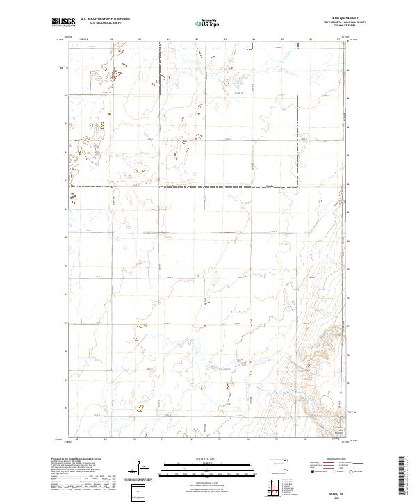
1958 Spain
Marshall County, SD
1970 Piyas Lake
Marshall County, SD
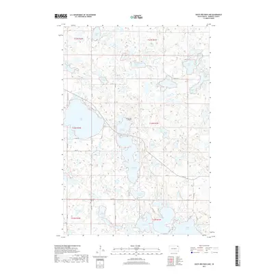
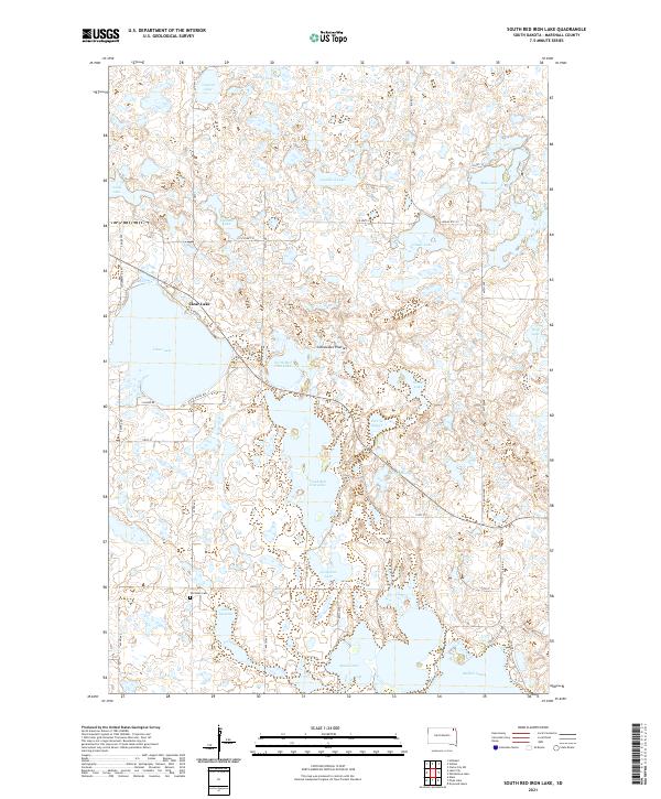
1970 South Red Iron Lake
Marshall County, SD
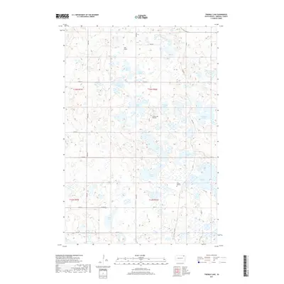
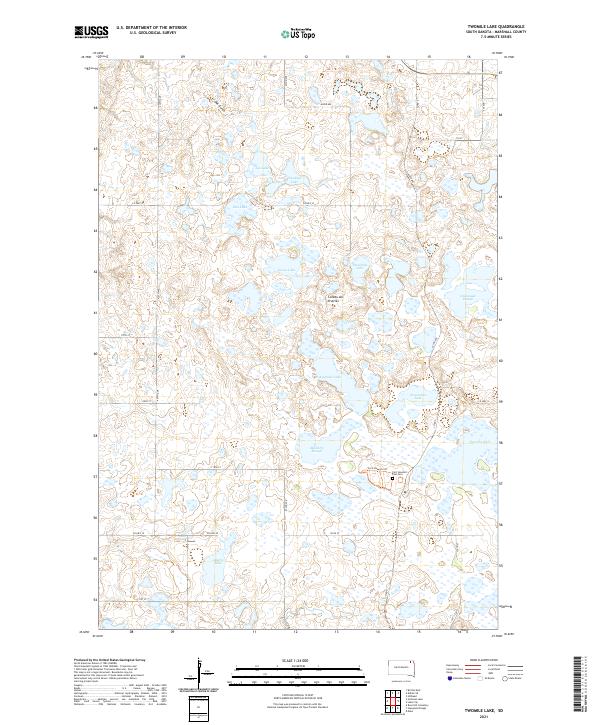
1970 Twomile Lake
Marshall County, SD
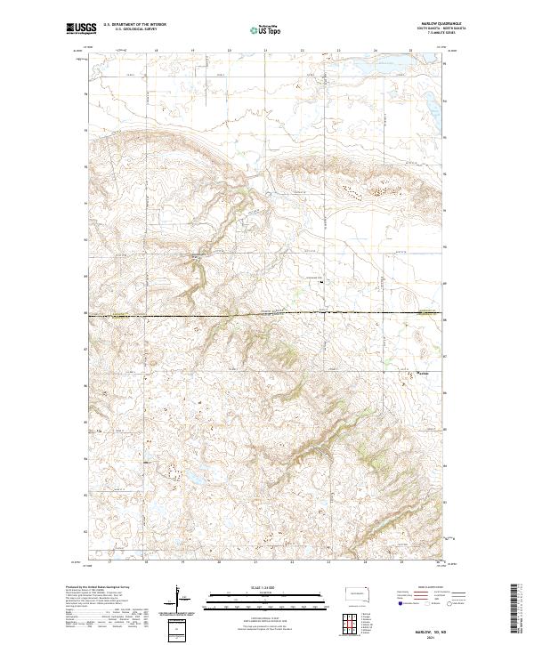
2011 Marlow
Marshall County, SD
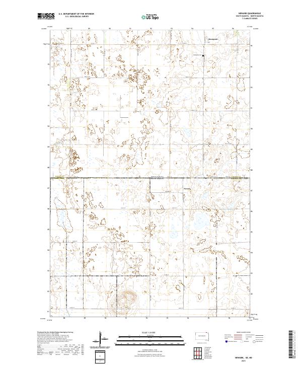
2011 Newark
Marshall County, SD
2012 Amherst
Marshall County, SD
2012 Britton East
Marshall County, SD
2012 Britton West
Marshall County, SD
2012 Hickman Lake
Marshall County, SD
2012 Hillhead
Marshall County, SD
2012 Kidder SE
Marshall County, SD
2012 Marlow
Marshall County, SD
2012 Newark
Marshall County, SD
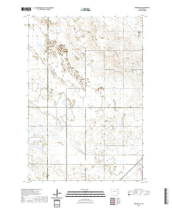
2012 Newark SW
Marshall County, SD
2012 Piyas Lake
Marshall County, SD
2012 South Red Iron Lake
Marshall County, SD
2012 Spain
Marshall County, SD
2012 Twomile Lake
Marshall County, SD
2015 Amherst
Marshall County, SD
2015 Britton East
Marshall County, SD
2015 Britton West
Marshall County, SD
2015 Hickman Lake
Marshall County, SD
2015 Hillhead
Marshall County, SD

2015 Kidder SE
Marshall County, SD
2015 Marlow
Marshall County, SD
2015 Newark
Marshall County, SD
2015 Newark SW
Marshall County, SD
2015 Piyas Lake
Marshall County, SD
2015 South Red Iron Lake
Marshall County, SD
2015 Spain
Marshall County, SD
2015 Twomile Lake
Marshall County, SD
2017 Amherst
Marshall County, SD

2017 Britton East
Marshall County, SD
2017 Britton West
Marshall County, SD
2017 Hickman Lake
Marshall County, SD
2017 Hillhead
Marshall County, SD
2017 Kidder SE
Marshall County, SD
2017 Marlow
Marshall County, SD
2017 Newark
Marshall County, SD
2017 Newark SW
Marshall County, SD
2017 Piyas Lake
Marshall County, SD
2017 South Red Iron Lake
Marshall County, SD
2017 Spain
Marshall County, SD
2017 Twomile Lake
Marshall County, SD
2021 Amherst
Marshall County, SD
2021 Britton East
Marshall County, SD
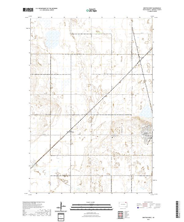
2021 Britton West
Marshall County, SD
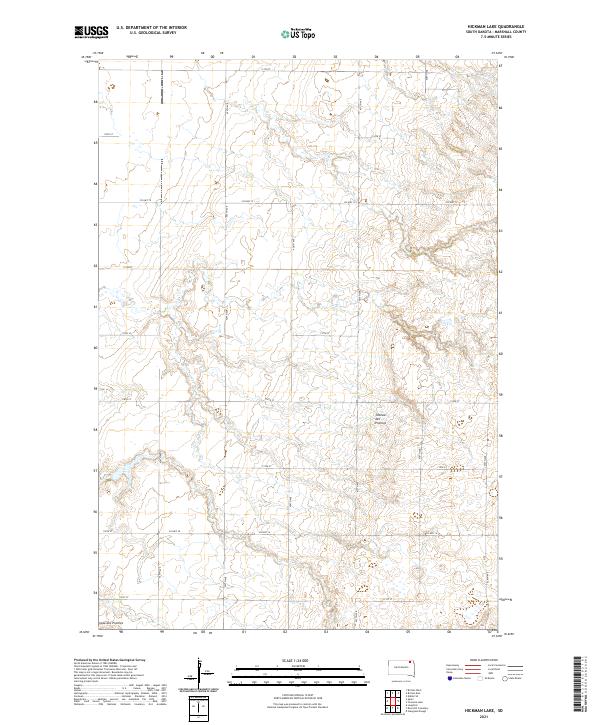
2021 Hickman Lake
Marshall County, SD
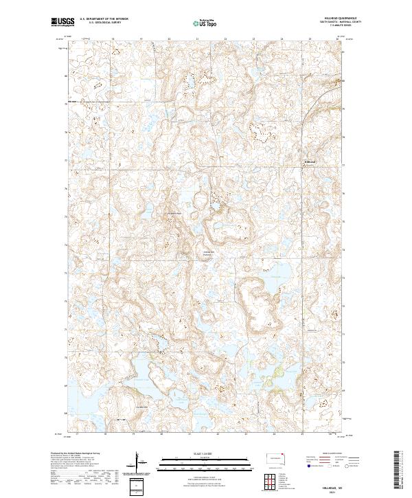
2021 Hillhead
Marshall County, SD
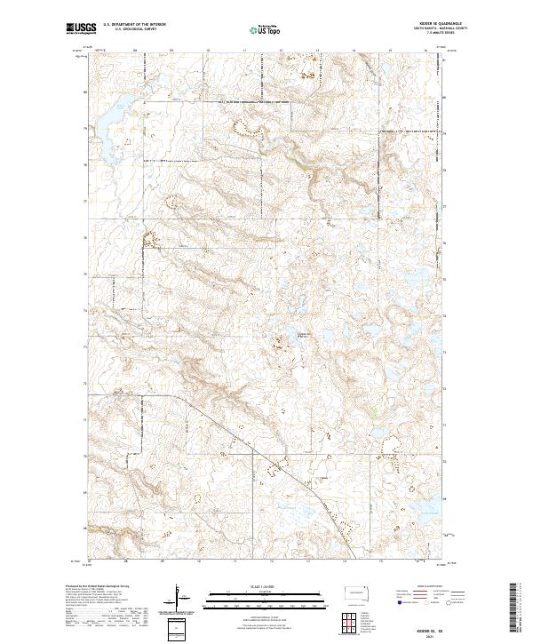
2021 Kidder SE
Marshall County, SD
2021 Marlow
Marshall County, SD
2021 Newark
Marshall County, SD
2021 Newark SW
Marshall County, SD
2021 Piyas Lake
Marshall County, SD
2021 South Red Iron Lake
Marshall County, SD
2021 Spain
Marshall County, SD
2021 Twomile Lake
Marshall County, SD