
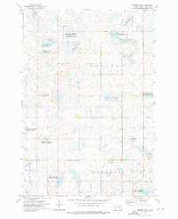
1970 Map of Eden
USGS Topo · Published 1973About this map
The town of Eden sits at the northern edge of this Dakota prairie landscape, an area defined by its dense network of glacial wetlands and small lakes. Traces of 19th-century history are visible in the Old Fort Sisseton Military Reservation Boundary, which cuts across the central township. This survey, conducted in 1970, shows the rural infrastructure of Nutley and Liberty townships during a period of agricultural stability, marked by numerous Gravel Pits and family-centered landmarks.
Find a feature on this map
17 named features on this map. Tap any name to fly to it.
Don’t see what you’re looking for? This feature index may not catch every label — zoom into the map to look around manually.
Map Details
Editions of this 1970 Eden Map
This is the sole edition of this map. No revisions or reprints were ever made.
Other maps of this area

1953 · Milbank
USGS Topo · 1:250,000

1958 · Milbank
USGS Topo · 1:250,000

1970 · Britton 4 NE
USGS Topo · 1:24,000

1970 · South Red Iron Lake
USGS Topo · 1:24,000

1970 · Lake City
USGS Topo · 1:24,000

1970 · Piyas Lake
USGS Topo · 1:24,000

1970 · Britton 4 SE
USGS Topo · 1:24,000

1970 · Roslyn
USGS Topo · 1:24,000

1970 · Enemy Swim Lake West
USGS Topo · 1:24,000
1973 · Webster NE
USGS Topo · 1:24,000