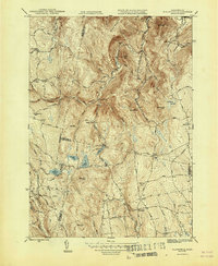
1947 Map of Plainfield
USGS Topo · Published 1947About this map
Plainfield and Hawley serve as the primary hubs in this mid-century survey of the high hills of Western Massachusetts. The landscape is defined by its small, scattered rural settlements and a network of district schools including Brier Sch, Bozrah Sch, and the simply named School No 7. This era of the Berkshire and Hampshire county borderlands is characterized by a high-elevation water system, where Plainfield Pond and Crooked Pond feed the headwaters of the Swift River.
Find a feature on this map
51 named features on this map. Tap any name to fly to it.
Don’t see what you’re looking for? This feature index may not catch every label — zoom into the map to look around manually.
Map Details
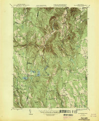
Editions of this 1947 Plainfield Map
2 editions found
Other maps of this area

1886 · Greylock
USGS Topo · 1:62,500

1886 · Hawley
USGS Topo · 1:62,500

1886 · Chesterfield
USGS Topo · 1:62,500

1886 · Becket
USGS Topo · 1:62,500

1888 · Becket
USGS Topo · 1:62,500

1888 · Chesterfield
USGS Topo · 1:62,500

1890 · Hawley
USGS Topo · 1:62,500

1891 · Greylock
USGS Topo · 1:62,500

1893 · Chesterfield
USGS Topo · 1:62,500

1893 · Becket
USGS Topo · 1:62,500