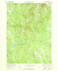
1971 Map of Plainfield
USGS Topo · Published 1973About this map
The town of Plainfield and the surrounding Berkshire highlands are defined by a complex intersection of county lines where Berkshire, Franklin, and Hampshire counties meet. This upland landscape, revised to reflect the early 1970s, shows a region dominated by vast state-managed woodlands, including the Mohawk Trail State Forest and Savoy Mountain State Forest. The historic Mohawk Trail snakes across the northern edge, while the town center of Plainfield is anchored by the Hilltop Cem and the Hallock Mem Sch.
Find a feature on this map
70 named features on this map. Tap any name to fly to it.
Don’t see what you’re looking for? This feature index may not catch every label — zoom into the map to look around manually.
Map Details
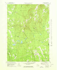
Editions of this 1971 Plainfield Map
2 editions found
Other maps of this area

1886 · Greylock
USGS Topo · 1:62,500

1886 · Hawley
USGS Topo · 1:62,500

1886 · Chesterfield
USGS Topo · 1:62,500

1886 · Becket
USGS Topo · 1:62,500

1888 · Becket
USGS Topo · 1:62,500

1888 · Chesterfield
USGS Topo · 1:62,500

1890 · Hawley
USGS Topo · 1:62,500

1891 · Greylock
USGS Topo · 1:62,500

1893 · Chesterfield
USGS Topo · 1:62,500

1893 · Becket
USGS Topo · 1:62,500