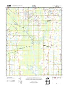
2013 Map of Pleasant Ridge
USGS Topo · Published 2013About this map
North Landing River serves as the central artery of this coastal Virginia landscape, winding south through expansive wetlands toward the North Carolina border. The area is defined by its low-lying hydrology, where the Pocaty River and West Neck Creek feed into a network of tidal waters that historically shaped local movement and commerce. Small coastal settlements such as Pungo, Pleasant Ridge, and Dawley Corners are situated along the primary north-south corridor of Princess Anne Rd, marking the higher ground between the swampy interior and the coast.
Find a feature on this map
82 named features on this map. Tap any name to fly to it.
Don’t see what you’re looking for? This feature index may not catch every label — zoom into the map to look around manually.
Map Details
Editions of this 2013 Pleasant Ridge Map
This is the sole edition of this map. No revisions or reprints were ever made.
Other maps of this area

1893 · Virginia Beach
USGS Topo · 1:125,000

1907 · Norfolk
USGS Topo · 1:125,000

1916 · Back Bay
USGS Topo · 1:62,500

1918 · Cape Henry
USGS Topo · 1:62,500

1919 · Cape Henry
USGS Topo · 1:62,500

1939 · Moyock
USGS Topo · 1:62,500

1943 · Back Bay
USGS Topo · 1:62,500

1946 · Moyock
USGS Topo · 1:62,500

1946 · Eastville
USGS Topo · 1:250,000

1946 · Currituck Sound
USGS Topo · 1:250,000