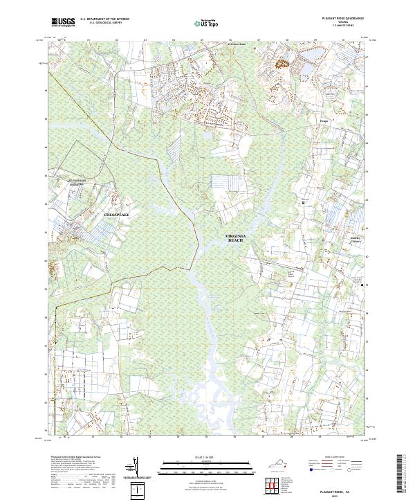
2022 Map of Pleasant Ridge
USGS Topo · Published 2022About this map
The North Landing River and the Intracoastal Waterway form the central arterial of this coastal landscape, where the municipal boundary between Chesapeake and Virginia Beach meets in a complex network of wetlands and tidal creeks. The eastern portion of the map is defined by traditional settlements and family-named locales like Pungo and Dawley Corners, which sit atop slightly higher ground. Notable historic landmarks include the Charity United Methodist Church Cem and the Lane Cem, providing points of interest for genealogical research in these long-established communities.
Find a feature on this map
104 named features on this map. Tap any name to fly to it.
Don’t see what you’re looking for? This feature index may not catch every label — zoom into the map to look around manually.
Map Details
Editions of this 2022 Pleasant Ridge Map
This is the sole edition of this map. No revisions or reprints were ever made.
Other maps of this area

1893 · Virginia Beach
USGS Topo · 1:125,000

1907 · Norfolk
USGS Topo · 1:125,000

1916 · Back Bay
USGS Topo · 1:62,500

1918 · Cape Henry
USGS Topo · 1:62,500

1919 · Cape Henry
USGS Topo · 1:62,500

1939 · Moyock
USGS Topo · 1:62,500

1943 · Back Bay
USGS Topo · 1:62,500

1946 · Moyock
USGS Topo · 1:62,500

1946 · Eastville
USGS Topo · 1:250,000

1946 · Currituck Sound
USGS Topo · 1:250,000