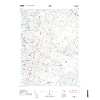
2018 Map of Pocasset
USGS Topo · Published 2018About this map
The maritime and military landscape of western Cape Cod is defined here by the vast reservation of Camp Edwards and the strategic Intracoastal Waterway. Along the shoreline, a dense network of coastal villages and summer colonies includes Monument Beach, Pocasset Station, and Cataumet, reflecting the area's long-standing reliance on the sea and rail. Inland, the topography transitions from the wetland-rich Back River Marshes to the elevated terrain of Deer Horn Hill and Pine Hill. The presence of the Massachusetts Maritime Acad at the mouth of the canal and the Cape Cod Coast Guard Air Station underscores the region's importance to national defense and navigation. Genealogists will find numerous small burial grounds such as Oakland Grove Cem and Cataumet Cem, while researchers can trace the historic rail corridor crossing the Railroad Bridge over the canal.
Find a feature on this map
263 named features on this map. Tap any name to fly to it.
Don’t see what you’re looking for? This feature index may not catch every label — zoom into the map to look around manually.
Map Details
Editions of this 2018 Pocasset Map
This is the sole edition of this map. No revisions or reprints were ever made.
Other maps of this area

1886 · Falmouth
USGS Topo · 1:62,500

1886 · Plymouth
USGS Topo · 1:62,500

1888 · Barnstable
USGS Topo · 1:62,500

1888 · Falmouth
USGS Topo · 1:62,500

1889 · Plymouth
USGS Topo · 1:62,500

1893 · Barnstable
USGS Topo · 1:62,500

1893 · Falmouth
USGS Topo · 1:62,500

1894 · Plymouth
USGS Topo · 1:62,500

1915 · Falmouth
USGS Topo · 1:62,500

1920 · Falmouth
USGS Topo · 1:62,500