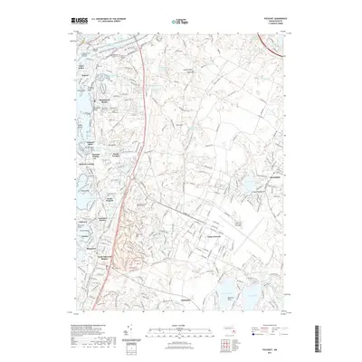
2021 Map of Pocasset
USGS Topo · Published 2021About this map
Camp Edwards and the expansive Massachusetts National Cemetery dominate the interior of this coastal survey, reflecting the region's enduring military and civic significance. Along the western shore, the Intracoastal Waterway threads through a string of maritime settlements including Monument Beach, Pocasset Station, and Cataumet Station, where the relationship between the rail line and the Atlantic coast remains clearly defined. The map captures a diverse network of recreation and transit, from the Cape Cod Canal Bike Path Trail in the north to the intricate series of trails near Deer Horn Hill, such as the Rip Your Shorts Off Trail and Half Pipe Trail. Inland, the landscape is punctuated by numerous glacial kettle ponds like Snake Pond and Ashumet Pond, while the Cape Cod Coast Guard Air Station stands as a prominent landmark near the center of the peninsula.
Find a feature on this map
106 named features on this map. Tap any name to fly to it.
Don’t see what you’re looking for? This feature index may not catch every label — zoom into the map to look around manually.
Map Details
Editions of this 2021 Pocasset Map
This is the sole edition of this map. No revisions or reprints were ever made.
Other maps of this area

1886 · Falmouth
USGS Topo · 1:62,500

1886 · Plymouth
USGS Topo · 1:62,500

1888 · Barnstable
USGS Topo · 1:62,500

1888 · Falmouth
USGS Topo · 1:62,500

1889 · Plymouth
USGS Topo · 1:62,500

1893 · Barnstable
USGS Topo · 1:62,500

1893 · Falmouth
USGS Topo · 1:62,500

1894 · Plymouth
USGS Topo · 1:62,500

1915 · Falmouth
USGS Topo · 1:62,500

1920 · Falmouth
USGS Topo · 1:62,500