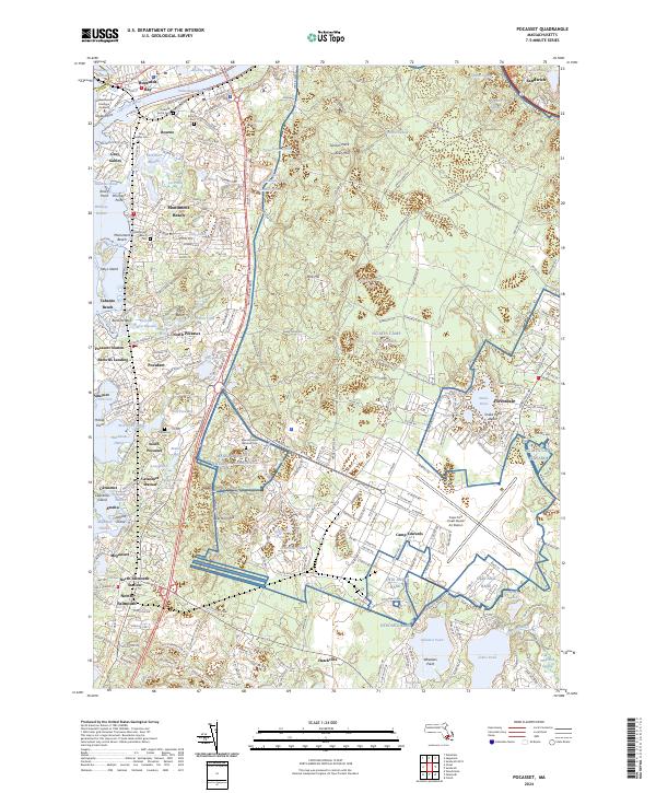
2024 Map of Pocasset
USGS Topo · Published 2024About this map
Buzzards Bay and the entrance to the Cape Cod Canal define the western edge of this coastal landscape, where the Massachusetts Maritime Academy sits near the canal’s western terminus at Taylor Point. The topography transitions from the maritime villages of Pocasset and Monument Beach to the expansive military grounds of Camp Edwards and the Otis Ang Base. These installations, alongside the Cape Cod Coast Guard Air Station, dominate the interior upland, creating a distinct boundary between the residential shoreline and federal reserve land.
Find a feature on this map
95 named features on this map. Tap any name to fly to it.
Don’t see what you’re looking for? This feature index may not catch every label — zoom into the map to look around manually.
Map Details
Editions of this 2024 Pocasset Map
This is the sole edition of this map. No revisions or reprints were ever made.
Other maps of this area

1886 · Falmouth
USGS Topo · 1:62,500

1886 · Plymouth
USGS Topo · 1:62,500

1888 · Barnstable
USGS Topo · 1:62,500

1888 · Falmouth
USGS Topo · 1:62,500

1889 · Plymouth
USGS Topo · 1:62,500

1893 · Barnstable
USGS Topo · 1:62,500

1893 · Falmouth
USGS Topo · 1:62,500

1894 · Plymouth
USGS Topo · 1:62,500

1915 · Falmouth
USGS Topo · 1:62,500

1920 · Falmouth
USGS Topo · 1:62,500