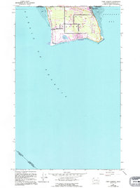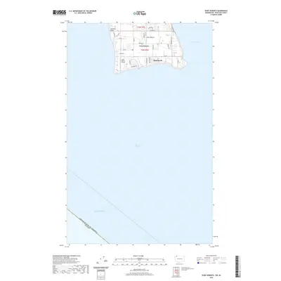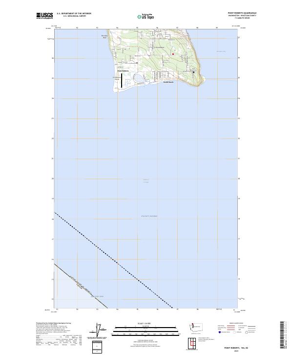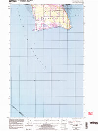
1997 Map of Point Roberts
USGS Topo · Published 2003About this map
Point Roberts occupies a unique geographic position as an American exclave south of the 49th parallel, bounded by the Canada United States border and the sea. This survey details the transition from the steep western Bluff and rocky coastline of Boulders to the residential clusters at Maple Beach and South Beach. The infrastructure of this isolated community is clearly defined, including the U S Customs post, the Landing Strip, and a network of local roads like Gulf Road and Tyee Drive.
Find a feature on this map
31 named features on this map. Tap any name to fly to it.
Don’t see what you’re looking for? This feature index may not catch every label — zoom into the map to look around manually.
Map Details
Editions of this 1997 Point Roberts Map
This is the sole edition of this map. No revisions or reprints were ever made.
Historical Maps of Point Roberts Through Time
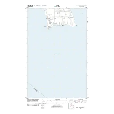
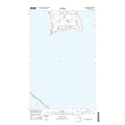
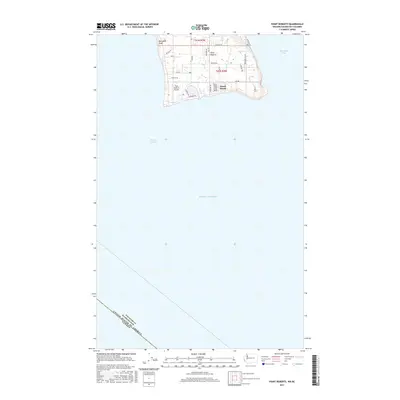
7 maps found