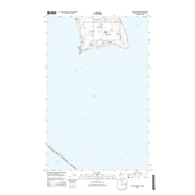
2014 Map of Point Roberts
USGS Topo · Published 2014About this map
Point Roberts occupies a unique geographical position as an American exclave, separated from the rest of Washington by the international border with Canada. This coastal landscape is defined by its maritime infrastructure, including the Point Roberts Lighthouse on the southwestern tip and the sheltered Point Roberts Resort Marina. The residential and recreational character of the community is evident in the layout of settlements like South Beach and the presence of Lighthouse Marine Park, which offers a public boat launch and campground.
Find a feature on this map
40 named features on this map. Tap any name to fly to it.
Don’t see what you’re looking for? This feature index may not catch every label — zoom into the map to look around manually.
Map Details
Editions of this 2014 Point Roberts Map
This is the sole edition of this map. No revisions or reprints were ever made.
Other maps of this area
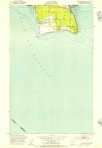
1952 · Point Roberts
USGS Topo · 1:24,000

1957 · Victoria
USGS Topo · 1:250,000

1973 · Sucia Island
USGS Topo · 1:24,000

1975 · Bellingham
USGS Topo · 1:100,000
1981 · Roche Harbor
USGS Topo · 1:100,000
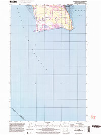
1997 · Point Roberts
USGS Topo · 1:24,000
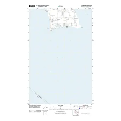
2011 · Point Roberts
USGS Topo · 1:24,000
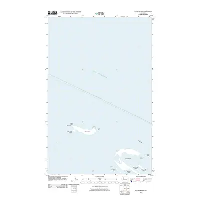
2011 · Sucia Island
USGS Topo · 1:24,000
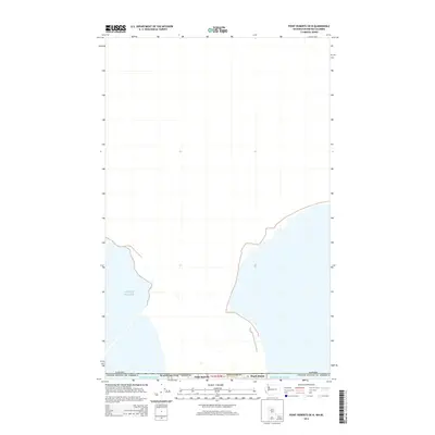
2014 · Point Roberts OE N
USGS Topo · 1:24,000
2014 · Strait of Georgia (All Water)
USGS Topo · 1:24,000