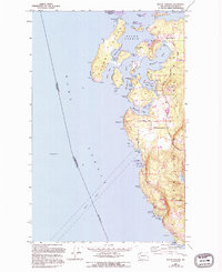
1981 Map of Roche Harbor
USGS Topo · Published 1981About this map
The international maritime border between British Columbia and Washington divides this coastal landscape, where the Gulf Islands meet the San Juan archipelago. On the American side, Roche Harbor and Friday Harbor serve as the primary hubs for San Juan Island, while the Canadian portion of the map is anchored by the large landmass of Vancouver Island and the bustling communities of Sidney and Duncan. This 1981 edition shows the established transportation networks of the era, including the Trans-Canada Highway and the Canadian Pacific Railway corridor running north toward Ladysmith.
Find a feature on this map
96 named features on this map. Tap any name to fly to it.
Don’t see what you’re looking for? This feature index may not catch every label — zoom into the map to look around manually.
Map Details
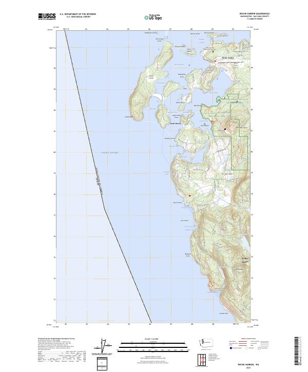
Editions of this 1981 Roche Harbor Map
2 editions found
Historical Maps of Roche Harbor Through Time
3 maps found