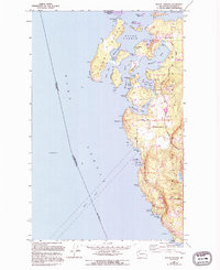
1954 Map of Roche Harbor
USGS Topo · Published 1994About this map
The maritime and industrial history of northwestern San Juan Co. is visible in this study of the shoreline and interior highlands. The map highlights the legacy of the Pig War and the joint occupation era at English Camp (1859), situated along the protected waters of Garrison Bay. The local economy of the mid-20th century is evidenced by a Seaplane Base and Landing Strip serving the community of Roche Harbor, while the southern coast is dominated by the industrial extraction site of the Lime Kiln and the Lime Kiln Lighthouse. Inland, the terrain rises sharply from the Strait of Haro to prominent heights at Young Hill and Mt Dallas. This survey captures the transition of the region from a resource-based economy of Quarries to a landscape preserved within the San Juan Island National Historical Park.
Find a feature on this map
61 named features on this map. Tap any name to fly to it.
Don’t see what you’re looking for? This feature index may not catch every label — zoom into the map to look around manually.
Map Details
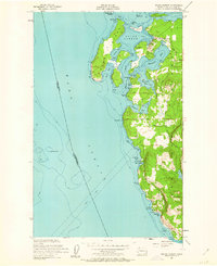
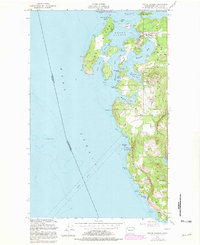
Editions of this 1954 Roche Harbor Map
4 editions found
Other maps of this area

1953 · Stuart Island
USGS Topo · 1:24,000

1954 · Roche Harbor
USGS Topo · 1:24,000

1954 · Waldron Island
USGS Topo · 1:24,000

1954 · Friday Harbor
USGS Topo · 1:24,000

1954 · False Bay
USGS Topo · 1:24,000

1957 · Victoria
USGS Topo · 1:250,000
1979 · Port Angeles
USGS Topo · 1:100,000
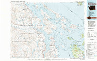
1981 · Roche Harbor
USGS Topo · 1:100,000
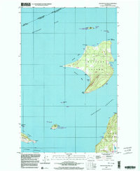
1997 · Waldron Island
USGS Topo · 1:24,000
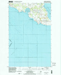
1998 · False Bay
USGS Topo · 1:24,000