
1954 Map of Friday Harbor
USGS Topo · Published 1957About this map
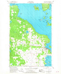
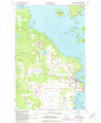
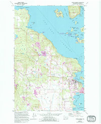
San Juan Island and the bustling harbor at Friday Harbor anchor this mid-1950s survey of the archipelago's heart. The map documents the transition from a maritime and agricultural economy to one increasingly shaped by scientific and recreational interests. Notable institutional landmarks include the Oceanographic Laboratories on the eastern shore and the San Juan County Fairgrounds near the village center.
Find a feature on this map
56 named features on this map. Tap any name to fly to it.
Don’t see what you’re looking for? This feature index may not catch every label — zoom into the map to look around manually.
Map Details
Editions of this 1954 Friday Harbor Map
4 editions found
Other maps of this area

1943 · Richardson
USGS Topo · 1:62,500

1943 · Orcas Island
USGS Topo · 1:62,500

1953 · Stuart Island
USGS Topo · 1:24,000

1954 · Roche Harbor
USGS Topo · 1:24,000

1954 · Waldron Island
USGS Topo · 1:24,000

1954 · False Bay
USGS Topo · 1:24,000

1957 · Richardson
USGS Topo · 1:62,500

1957 · Orcas Island
USGS Topo · 1:62,500

1957 · Victoria
USGS Topo · 1:250,000

1973 · Shaw Island
USGS Topo · 1:24,000