
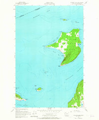
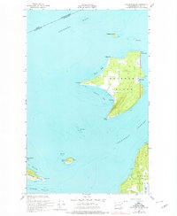
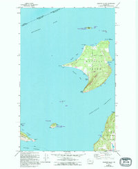
1954 Map of Waldron Island
USGS Topo · Published 1957About this map
Waldron Island sits at a critical international threshold, where the British Columbia and Washington boundary cuts through Boundary Pass. This mid-1950s survey captures the island's isolated character, centered on the small settlement of Waldron, which faces Cowlitz Bay near Mouatt Reef. The landscape is defined by its maritime utility and topography, from the prominent Point Disney at the southern tip to the northern reaches of North Bay and Fishery Point.
Find a feature on this map
27 named features on this map. Tap any name to fly to it.
Don’t see what you’re looking for? This feature index may not catch every label — zoom into the map to look around manually.
Map Details
Editions of this 1954 Waldron Island Map
4 editions found
Other maps of this area

1943 · Orcas Island
USGS Topo · 1:62,500

1953 · Stuart Island
USGS Topo · 1:24,000

1954 · Roche Harbor
USGS Topo · 1:24,000

1954 · Friday Harbor
USGS Topo · 1:24,000

1957 · Orcas Island
USGS Topo · 1:62,500

1957 · Victoria
USGS Topo · 1:250,000

1973 · Sucia Island
USGS Topo · 1:24,000

1973 · Shaw Island
USGS Topo · 1:24,000

1975 · Bellingham
USGS Topo · 1:100,000
1977 · Eastsound
USGS Topo · 1:24,000