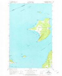
1954 Map of Waldron Island
USGS Topo · Published 1978About this map
Waldron Island and its surrounding archipelago occupy a strategic position along the maritime Canada United States border. This mid-century coastal survey reveals the small settlement of Waldron on the western shore of Cowlitz Bay, serving as a central hub for the island's interior, which includes a local Cemetery and an Airstrip near Point Hammond. The map captures the maritime economy and navigational landscape of the San Juan Islands, illustrating the treacherous waters of Mouatt Reef and the deep passages of President Channel and Boundary Pass. To the south, the topography of Spieden Island and the northern tip of Orcas Island near Deer Hbr are visible, alongside industrial evidence such as an Abandoned Quarry on the Orcas coast. This document provides a record of these remote island communities before modern development shifted the character of the San Juans.
Find a feature on this map
29 named features on this map. Tap any name to fly to it.
Don’t see what you’re looking for? This feature index may not catch every label — zoom into the map to look around manually.
Map Details
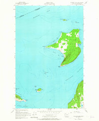
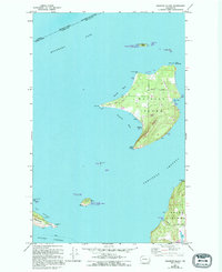
Editions of this 1954 Waldron Island Map
4 editions found
Other maps of this area

1943 · Orcas Island
USGS Topo · 1:62,500

1953 · Stuart Island
USGS Topo · 1:24,000

1954 · Roche Harbor
USGS Topo · 1:24,000

1954 · Waldron Island
USGS Topo · 1:24,000

1954 · Friday Harbor
USGS Topo · 1:24,000

1957 · Orcas Island
USGS Topo · 1:62,500

1957 · Victoria
USGS Topo · 1:250,000

1973 · Sucia Island
USGS Topo · 1:24,000

1973 · Shaw Island
USGS Topo · 1:24,000

1975 · Bellingham
USGS Topo · 1:100,000