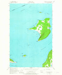
1954 Map of Waldron Island
USGS Topo · Published 1965About this map
Waldron Island serves as the central focus of this mid-century survey, showcasing a landscape defined by its isolated maritime character. The settlement of Waldron sits along the southwestern coast, where Cowlitz Bay provides a natural harbor protected by Point Disney. On the northern end, an unpaved airstrip serves as a critical connection point for the island community near Point Hammond. The map reveals the island's interior topography, including a centrally located Cemetery and various family-named landmarks like Sandy Pt and Fishery Pt.
Find a feature on this map
29 named features on this map. Tap any name to fly to it.
Don’t see what you’re looking for? This feature index may not catch every label — zoom into the map to look around manually.
Map Details
Editions of this 1954 Waldron Island Map
4 editions found
Other maps of this area

1943 · Orcas Island
USGS Topo · 1:62,500

1953 · Stuart Island
USGS Topo · 1:24,000

1954 · Roche Harbor
USGS Topo · 1:24,000

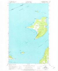
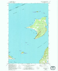
1954 · Waldron Island
USGS Topo · 1:24,000

1954 · Friday Harbor
USGS Topo · 1:24,000

1957 · Orcas Island
USGS Topo · 1:62,500

1957 · Victoria
USGS Topo · 1:250,000

1973 · Sucia Island
USGS Topo · 1:24,000

1973 · Shaw Island
USGS Topo · 1:24,000

1975 · Bellingham
USGS Topo · 1:100,000