
1953 Map of Stuart Island
USGS Topo · Published 1957About this map
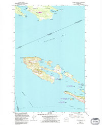
Stuart Island and the neighboring archipelago sit at the international boundary between British Columbia and Washington in the early 1950s. The settlement of Prevost serves as a focal point near Prevost Harbor, while the interior of the island is defined by the elevation of Tiptop Hill and the protected lands of Stuart Island State Park. Maritime navigation is critical in these waters, marked by a Lighthouse and Light at Turn Point and Hay Point, guiding vessels through the deep channels of Haro Strait. The map captures a transition point for these islands, where traditional landmarks like a Cem on Johns Island and a Ferry route coexist with newer infrastructure like the Airstrip on Spieden Island. Detailed hydrographic data, including Danger Shoal and Center Reef, illustrates the complex seafloor that shaped the development of these isolated communities.
Find a feature on this map
61 named features on this map. Tap any name to fly to it.
Don’t see what you’re looking for? This feature index may not catch every label — zoom into the map to look around manually.
Map Details
Editions of this 1953 Stuart Island Map
2 editions found
Other maps of this area

1954 · Roche Harbor
USGS Topo · 1:24,000

1954 · Waldron Island
USGS Topo · 1:24,000

1954 · Friday Harbor
USGS Topo · 1:24,000

1957 · Victoria
USGS Topo · 1:250,000
1981 · Roche Harbor
USGS Topo · 1:100,000
1997 · Waldron Island
USGS Topo · 1:24,000
2011 · Friday Harbor
USGS Topo · 1:24,000
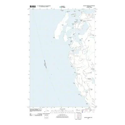
2011 · Roche Harbor
USGS Topo · 1:24,000
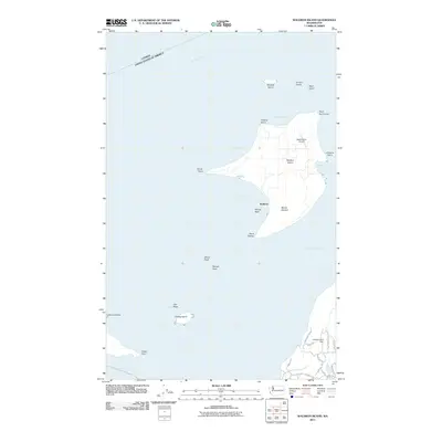
2011 · Waldron Island
USGS Topo · 1:24,000
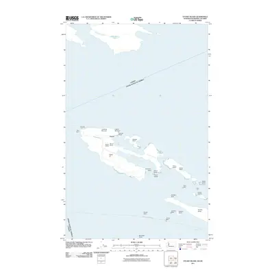
2011 · Stuart Island
USGS Topo · 1:24,000