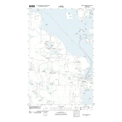
2011 Map of Friday Harbor
USGS Topo · Published 2011About this map
Friday Harbor serves as the bustling focal point of this San Juan Island survey, where the maritime economy is clearly defined by the Friday Harbor Ferry Landing and several marinas like Warbass Way Marina. The landscape is a complex network of freshwater management and coastal infrastructure, featuring an extensive series of dams including Durhack Dam Number One through Durhack Dam Number Seven. These structures, alongside Lakedale, suggest a history of inland water resource development contrasting with the saltwater-oriented facilities at Friday Harbor Seaplane Base.
Find a feature on this map
175 named features on this map. Tap any name to fly to it.
Don’t see what you’re looking for? This feature index may not catch every label — zoom into the map to look around manually.
Map Details
Editions of this 2011 Friday Harbor Map
This is the sole edition of this map. No revisions or reprints were ever made.
Other maps of this area

1943 · Richardson
USGS Topo · 1:62,500

1943 · Orcas Island
USGS Topo · 1:62,500

1953 · Stuart Island
USGS Topo · 1:24,000

1954 · Roche Harbor
USGS Topo · 1:24,000

1954 · Waldron Island
USGS Topo · 1:24,000

1954 · Friday Harbor
USGS Topo · 1:24,000

1954 · False Bay
USGS Topo · 1:24,000

1957 · Richardson
USGS Topo · 1:62,500

1957 · Orcas Island
USGS Topo · 1:62,500

1957 · Victoria
USGS Topo · 1:250,000