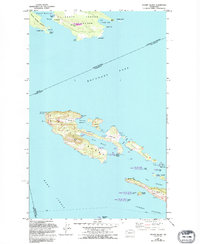
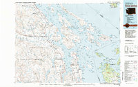
1953 Map of Stuart Island
USGS Topo · Published 1995About this map
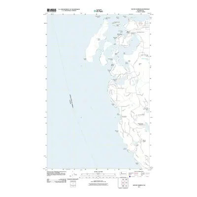
Stuart Island and its neighbors in the San Juan archipelago sit at a critical maritime junction where the Canada-United States border cuts through Boundary Pass. This map illustrates the remote island life of the mid-twentieth century, centered on the settlement of Prevost and the protected waters of Prevost Harbor and Reid Harbor. Navigation is the primary theme here, anchored by the Lighthouse at Turn Point and numerous Boat Docks that served as the primary connection for residents and visitors alike. To the north, the southern reaches of South Pender Island in British Columbia are visible, including the community of South Pender and Greenburn Lake. The landscape is defined by its maritime isolation, featuring several small airstrips labeled as Landing Strip on Stuart Island, Johns Island, and Spieden Island, reflecting how these outposts remained accessible before the expansion of modern ferry services.
Find a feature on this map
52 named features on this map. Tap any name to fly to it.
Don’t see what you’re looking for? This feature index may not catch every label — zoom into the map to look around manually.
Map Details
Editions of this 1953 Stuart Island Map
2 editions found
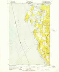
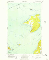
Other maps of this area
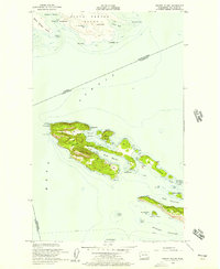
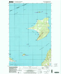
1953 · Stuart Island
USGS Topo · 1:24,000
1954 · Roche Harbor
USGS Topo · 1:24,000
1954 · Waldron Island
USGS Topo · 1:24,000
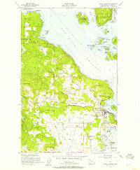
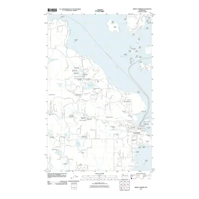
1954 · Friday Harbor
USGS Topo · 1:24,000

1957 · Victoria
USGS Topo · 1:250,000
1981 · Roche Harbor
USGS Topo · 1:100,000
1997 · Waldron Island
USGS Topo · 1:24,000
2011 · Friday Harbor
USGS Topo · 1:24,000
2011 · Roche Harbor
USGS Topo · 1:24,000
2011 · Waldron Island
USGS Topo · 1:24,000