
1975 Map of Bellingham
USGS Topo · Published 1977About this map
Bellingham Bay serves as the focal point for this mid-1970s study of Northwest Washington, where the industrial waterfront meets the complex topography of the Puget Sound islands. The Lummi Indian Reservation and the sprawling Lummi Island dominate the near-shore geography, while the interior is defined by the sharp rise of Sumas Mountain and the Van Zandt Dike. The map captures a transitional period for the region's transport, showing the Burlington Northern lines alongside relic features like an Old RR Grade near the Canadian border.
Find a feature on this map
84 named features on this map. Tap any name to fly to it.
Don’t see what you’re looking for? This feature index may not catch every label — zoom into the map to look around manually.
Map Details
Editions of this 1975 Bellingham Map
This is the sole edition of this map. No revisions or reprints were ever made.
Other maps of this area

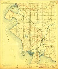
1899 · Stillaguamish
USGS Topo · 1:125,000

1901 · Stilaguamish
USGS Topo · 1:125,000
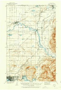
1906 · Sumas
USGS Topo · 1:62,500
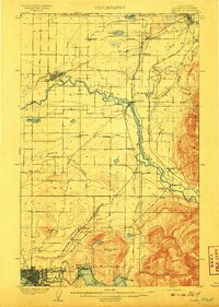
1907 · Blaine
USGS Topo · 1:62,500
1908 · Sumas
USGS Topo · 1:62,500

1909 · Mt Baker
USGS Topo · 1:192,000

1911 · Mount Vernon
USGS Topo · 1:125,000

1915 · Mt. Baker
USGS Topo · 1:250,000

1918 · Samish Lake
USGS Topo · 1:62,500
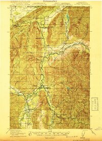
1919 · Van Zandt
USGS Topo · 1:62,500