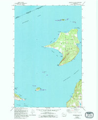
1954 Map of Waldron Island
USGS Topo · Published 1995About this map
Waldron Island sits as a central hub of the San Juan archipelago, dominated by the elevation of Disney Mountain and surrounded by a network of maritime channels. The settlement pattern is sparse and coastal, with small clusters at Hammond and Seversons along the northern bays, while Sawmill Corner anchors the interior. Economic activity is evidenced by a Landing Strip and Airport Road near the center of the island, alongside maritime infrastructure like the Waldron Boat Dock and an Abandoned Quarry on the western edge of Orcas Island. This mid-century landscape reflects the isolated island life before significant modern development, where small cemeteries and local landmarks like Eagle Rock and Point Disney define the geography. The map also highlights the ecological importance of the area, noting the San Juan Islands National Wildlife Refuge across smaller landmasses like Skipjack Island and Flattop Island.
Find a feature on this map
48 named features on this map. Tap any name to fly to it.
Don’t see what you’re looking for? This feature index may not catch every label — zoom into the map to look around manually.
Map Details
Editions of this 1954 Waldron Island Map
4 editions found
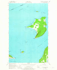
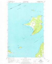
Other maps of this area

1943 · Orcas Island
USGS Topo · 1:62,500

1953 · Stuart Island
USGS Topo · 1:24,000

1954 · Roche Harbor
USGS Topo · 1:24,000

1954 · Waldron Island
USGS Topo · 1:24,000

1954 · Friday Harbor
USGS Topo · 1:24,000

1957 · Orcas Island
USGS Topo · 1:62,500

1957 · Victoria
USGS Topo · 1:250,000

1973 · Sucia Island
USGS Topo · 1:24,000

1973 · Shaw Island
USGS Topo · 1:24,000

1975 · Bellingham
USGS Topo · 1:100,000