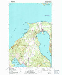
1977 Map of Eastsound
USGS Topo · Published 1994About this map
Orcas Island defines this landscape of deep bays and prominent peaks, centering on the community of Eastsound. The 1994 update reveals the island's mid-century development patterns, with the winding Horseshoe Highway and Enchanted Forest Road connecting settlements across Crow Valley. Along the southern coast, the map documents the resort character of Rosario and the village at West Sound.
Find a feature on this map
61 named features on this map. Tap any name to fly to it.
Don’t see what you’re looking for? This feature index may not catch every label — zoom into the map to look around manually.
Map Details
Editions of this 1977 Eastsound Map
2 editions found
Other maps of this area

1943 · Orcas Island
USGS Topo · 1:62,500

1954 · Waldron Island
USGS Topo · 1:24,000

1954 · Friday Harbor
USGS Topo · 1:24,000

1957 · Orcas Island
USGS Topo · 1:62,500

1957 · Victoria
USGS Topo · 1:250,000

1973 · Sucia Island
USGS Topo · 1:24,000

1973 · Shaw Island
USGS Topo · 1:24,000
1973 · Blakely Island
USGS Topo · 1:24,000

1975 · Bellingham
USGS Topo · 1:100,000
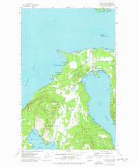
1977 · Eastsound
USGS Topo · 1:24,000