
1973 Map of Shaw Island
USGS Topo · Published 1977About this map
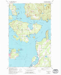
Shaw Island serves as the centerpiece of this 1973 survey, depicting a landscape of rural island life and marine navigation before significant modern development. The map shows the intricate coastline from Deer Harbor on Orcas Island down to the northern tip of Lopez Island. Notable civic landmarks include the Shaw Island Sch and a local Cem, alongside scattered homes and the small settlement of Orcas.
Find a feature on this map
69 named features on this map. Tap any name to fly to it.
Don’t see what you’re looking for? This feature index may not catch every label — zoom into the map to look around manually.
Map Details
Editions of this 1973 Shaw Island Map
2 editions found
Other maps of this area

1943 · Richardson
USGS Topo · 1:62,500

1943 · Orcas Island
USGS Topo · 1:62,500

1954 · Waldron Island
USGS Topo · 1:24,000

1954 · Friday Harbor
USGS Topo · 1:24,000

1954 · False Bay
USGS Topo · 1:24,000

1957 · Richardson
USGS Topo · 1:62,500

1957 · Orcas Island
USGS Topo · 1:62,500

1957 · Victoria
USGS Topo · 1:250,000
1973 · Lopez Pass
USGS Topo · 1:24,000
1973 · Blakely Island
USGS Topo · 1:24,000