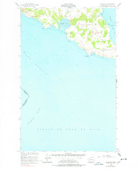
1954 Map of False Bay
USGS Topo · Published 1978About this map
San Juan Island meets the sea at this southern coastal survey, which highlights the strategic maritime and military history of the San Juan Islands. The map documents the American Campsite and Pickett's Monument, key landmarks connected to the mid-19th-century Pig War boundary dispute between the United States and Great Britain. The topography reveals the expansive tidal flats of False Bay and the rocky shoreline reaching toward Pile Pt and Low Pt.
Find a feature on this map
19 named features on this map. Tap any name to fly to it.
Don’t see what you’re looking for? This feature index may not catch every label — zoom into the map to look around manually.
Map Details
Editions of this 1954 False Bay Map
Other maps of this area

1943 · Richardson
USGS Topo · 1:62,500

1943 · Orcas Island
USGS Topo · 1:62,500

1954 · Roche Harbor
USGS Topo · 1:24,000

1954 · Friday Harbor
USGS Topo · 1:24,000

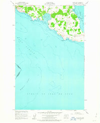
1954 · False Bay
USGS Topo · 1:24,000

1957 · Richardson
USGS Topo · 1:62,500

1957 · Orcas Island
USGS Topo · 1:62,500

1957 · Victoria
USGS Topo · 1:250,000

1973 · Shaw Island
USGS Topo · 1:24,000

1975 · Bellingham
USGS Topo · 1:100,000